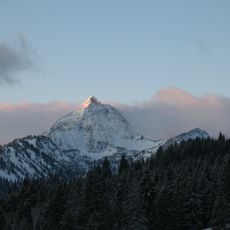
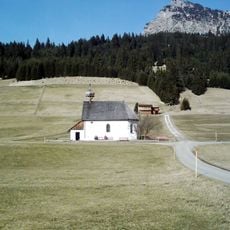
Rohnenspitze, Mountain summit in Tyrol, Austria
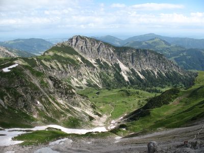
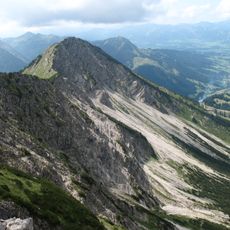
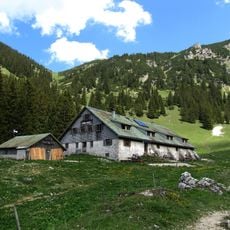
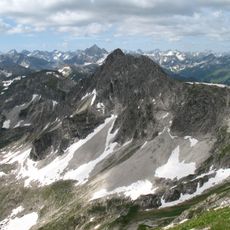
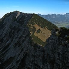
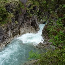
Rohnenspitze is a mountain summit in the Allgäu Alps that rises to 1990 meters and displays characteristic dolomite formations along its ridges. Several marked trails wind up from the surrounding valleys, making the peak accessible to hikers of varying experience levels.
The mountain's name comes from a medieval term meaning fallen trees, suggesting that logging or natural tree falls once shaped the slopes. First documented in 1774, the name reflects how local people described and related to their alpine landscape.
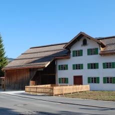
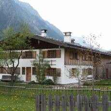
The mountain connects the municipalities of Zöblen and Tannheim, representing the traditional border regions of Tyrolean mountain communities.
The trails are well marked but require steady footing and proper mountain equipment for safety. Visitors should prepare for changing weather conditions and allow enough daylight for the entire climb and descent, as conditions can shift quickly in the mountains.
During winter, the north face becomes a challenging ski descent that attracts experienced backcountry skiers. This seasonal transformation turns the mountain into a destination for both summer hikers and winter sports enthusiasts.
The community of curious travelers
AroundUs brings together thousands of curated places, local tips, and hidden gems, enriched daily by 60,000 contributors worldwide.