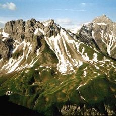
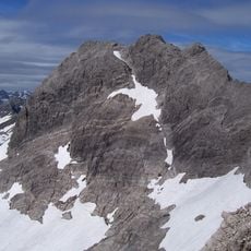
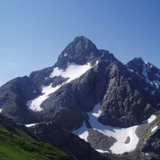
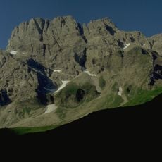
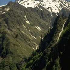
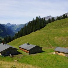
Schwarzmilzferner, Glacier in Tyrol, Austria
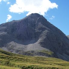
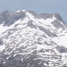
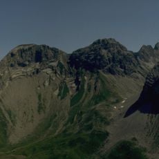
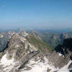
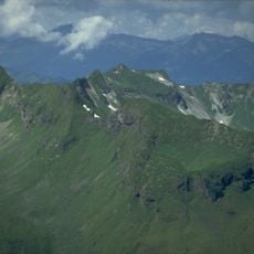
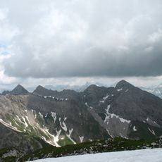
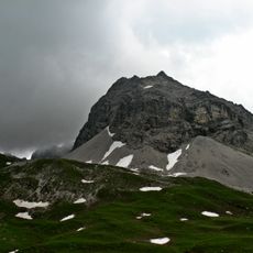
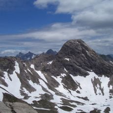
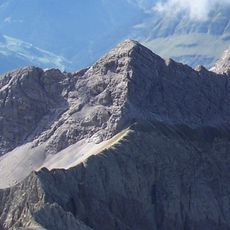
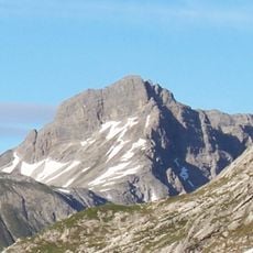
Schwarzmilzferner is a small glacier in the Allgäu Alps, lying south of the Mädelegabel and east of the Hochfrottspitze on Tyrolean soil just beyond the German-Austrian border. Its mean elevation of 2450 m is low for an Alpine glacier. Today it is a concave firn surface without crevasses or other signs of movement; meltwater seeps into fissures of the Hauptdolomit, as no outflow is visible. In 1985 its area was about 9 ha.
The Schwarzmilzferner was first mapped in the Atlas Tyrolensis by Peter Anich and Blasius Hueber in 1774, and again on a German-Austrian border commission map around 1855. A 1:25,000 survey by the k.u.k. Militärgeographisches Institut followed around 1870 and was repeated in 1887. Roland Mader later calculated that the surface sank by an average of 31 m between 1903 and 1965, then rose about 11 m by 1985.
The glacier stands as the last remaining ice mass in the Allgäu Alps, representing a natural monument of regional environmental changes in Tyrol.
The area is best suited for experienced mountaineers and researchers familiar with high-alpine conditions. The extreme elevation and unstable ice conditions require proper equipment and local guidance.
The glacier's survival rests on unusually high accumulation: about 500 mm more than precipitation at comparable elevations. This comes from the regional precipitation maximum along the northern Alpine rim between Oberstdorf and Schröcken, from its lee position behind the Hochfrottspitze, which favours wind-blown snow deposition, and from avalanche snow from the flanks of the Hochfrottspitze and Mädelegabel, which Schug calculated can supply at most 25% of accumulation.
The community of curious travelers
AroundUs brings together thousands of curated places, local tips, and hidden gems, enriched daily by 93,641 contributors worldwide.