
Wiener Rettungsmuseum, museum in Austria
Location: Hernals
Inception: 1991
Website: https://www.wien.gv.at/rettung/museum/
Website: https://wien.gv.at/rettung/museum
GPS coordinates: 48.22400,16.31927
Latest update: April 6, 2025 07:10
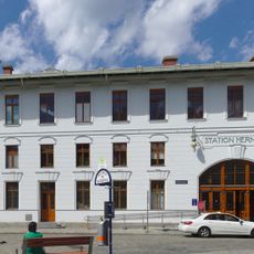
Wien Hernals railway station
336 m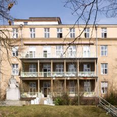
Orthopädisches Krankenhaus Gersthof
515 m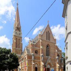
Redemptorist Church
577 m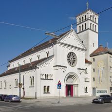
Herz-Jesu-Sühnekirche (Wien)
371 m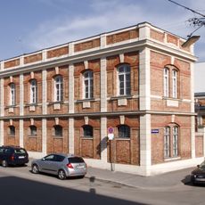
Rettungsstation Hernals (MA 70)
33 m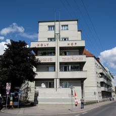
Holy-Hof
205 m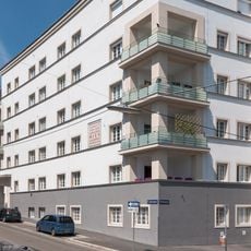
Wiedenhoferhof
558 m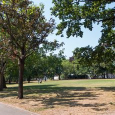
Christine-Nöstlinger-Park
371 m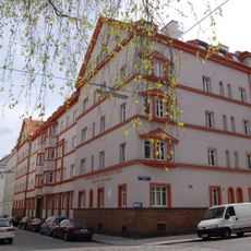
Wohnhausanlage Paletzgasse 15
404 m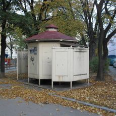
WC-Anlage
357 m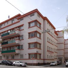
Wohnhausanlage Paletzgasse 17
382 m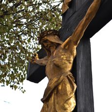
Türkenkreuz
309 m
Schokoladefabrik Julius Meinl
397 m
Schöffelhof
564 m
Wohnhausanlage Wattgasse 88
298 m
Sozialer Wohnbau
508 m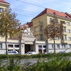
Türkenritthof
389 m
Redemptoristenkonvent Hernals
578 m
Betriebsbahnhof Hernals
275 m
Hernalser Hauptstraße 116
565 m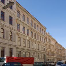
Thalhaimergasse 33
357 m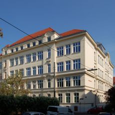
Schule Josef-Resch-Platz
280 m
Wohnhäuser
196 m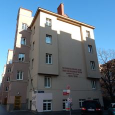
Wohnhausanlage Wattgasse 96–98
262 m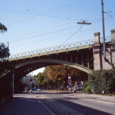
Eisenbahnstrecke, Wiener Vorortelinie – Teilbereich Hernals
63 m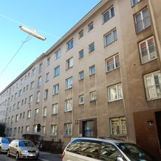
Wohnhausanlage Comeniusgasse 2
481 m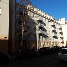
Wohnhausanlage Gschwandnergasse 53–57
538 m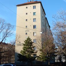
Wohnhausanlage Pezzlgasse 71–81
508 mReviews
Visited this place? Tap the stars to rate it and share your experience / photos with the community! Try now! You can cancel it anytime.
Discover hidden gems everywhere you go!
From secret cafés to breathtaking viewpoints, skip the crowded tourist spots and find places that match your style. Our app makes it easy with voice search, smart filtering, route optimization, and insider tips from travelers worldwide. Download now for the complete mobile experience.

A unique approach to discovering new places❞
— Le Figaro
All the places worth exploring❞
— France Info
A tailor-made excursion in just a few clicks❞
— 20 Minutes