Hernals, Administrative district in northwest Vienna, Austria.
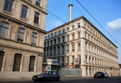
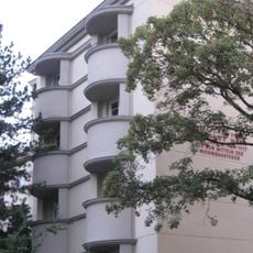
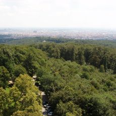
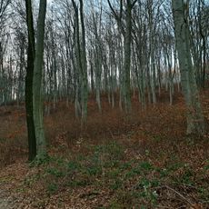
Hernals is the 17th district of Vienna, stretching northwest between the Vienna Forest and the Gürtel ring road. The Als River flows through the area, creating varied neighborhoods that blend residential streets with green spaces and different building styles.
People settled in this area during the Neolithic period, as shown by archaeological discoveries. The district as it exists today was formed in 1892 when three separate towns merged into one administrative unit within Vienna.
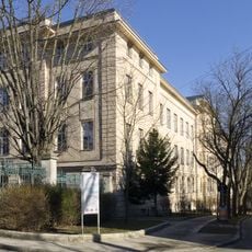
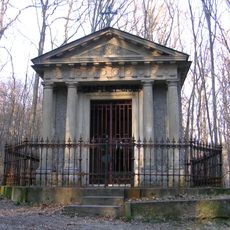
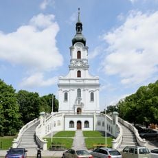
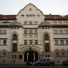
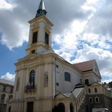
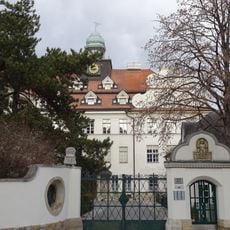
Churches like the Kalvarienbergkirche and Sühnekirche shape the streetscape and serve as gathering places for locals. Historic theater buildings continue to support the arts scene that residents and visitors can experience today.
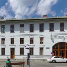
Trams and buses connect this area well to the rest of Vienna, making it easy to reach different neighborhoods on foot or by public transport. The postal code 1170 identifies all addresses within the district.
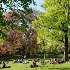
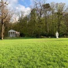
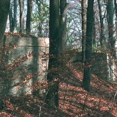
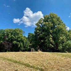
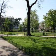
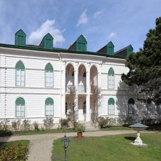
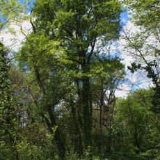
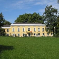
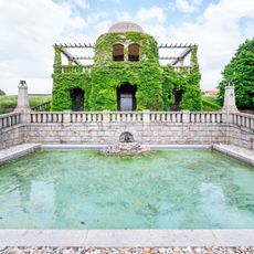
Schwarzenbergpark in Neuwaldegg is Austria's oldest landscape garden, offering a green retreat within the city. Many visitors discover this hidden place only when they specifically look for it.
Location: Vienna
Elevation above the sea: 224 m
Reference: 17
Shares border with: Döbling, Währing, Josefstadt, Ottakring, Penzing, Alsergrund, Klosterneuburg, Pötzleinsdorf, Gersthof
Website: http://wien.gv.at/bezirke/hernals
GPS coordinates: 48.23250,16.27940
Latest update: December 13, 2025 12:31
Brauerei Ottakringer
4 km
Türkenschanzpark
4 km
Jubiläumswarte
1.6 km
Schloss Wilhelminenberg
1.5 km
Schloss Neuwaldegg
698 m
Pötzleinsdorfer Schlosspark
2 km
Gaugefechtsstand Wien
1.6 km
Semmelweis Frauen-Klinik
3 km
10er Marie
3 km
Schwarzenbergpark
1.6 km
Hameau
2.7 km
Sandleitenhof
2.2 km
Haus Gerzabek
4.8 km
Gallitzinberg
1.5 km
Kaasgrabenkirche
4.6 km
Jörgerbad
4.4 km
Wien Hernals railway station
2.8 km
Schubertpark (Währing)
4.5 km
Geymüllerschlössel
2.4 km
Sternwarteareal
4 km
Schloß Pötzleinsdorf
2.2 km
Kongressbad
2.7 km
Orthopädisches Krankenhaus Gersthof
3.2 km
Kalvarienbergkirche
4.3 km
Villa, Salmannsdorfer Höhe 10
3.5 km
Wasserbehälter Hackenberg
3.2 km
Heuberg
468 m
Children's Hospital Glanzing
3 kmVisited this place? Tap the stars to rate it and share your experience / photos with the community! Try now! You can cancel it anytime.
Discover hidden gems everywhere you go!
From secret cafés to breathtaking viewpoints, skip the crowded tourist spots and find places that match your style. Our app makes it easy with voice search, smart filtering, route optimization, and insider tips from travelers worldwide. Download now for the complete mobile experience.
A unique approach to discovering new places❞
— Le Figaro
All the places worth exploring❞
— France Info
A tailor-made excursion in just a few clicks❞
— 20 Minutes