
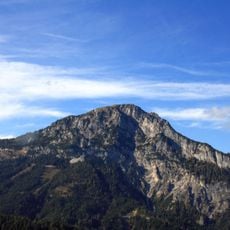
Sonnwendkogel, mountain in the Kemetgebirge in Styria
Location: Aich
Elevation above the sea: 1,498 m
GPS coordinates: 47.44675,13.82393
Latest update: March 14, 2025 12:33
Stoderzinken
1.5 km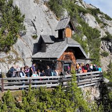
Friedenskircherl
1.1 km
Notgasse Gröbming
4.1 km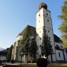
Katholische Pfarrkirche Mariä Himmelfahrt
5.8 km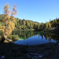
Grafenbergsee
4.9 km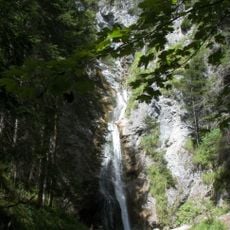
Gradenbachfall
2.1 km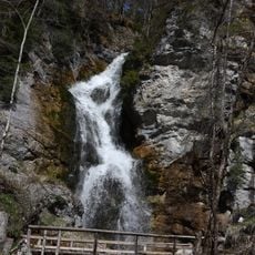
Luserfall
5.9 km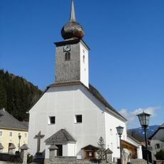
Pfarrkirche Assach
2.5 km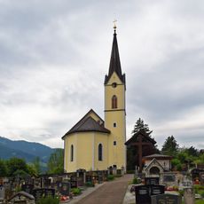
Evangelische Pfarrkirche Gröbming
5.9 km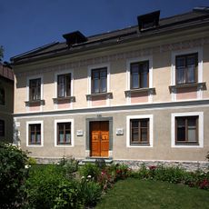
Evangelisches Bethaus Aich, Styria
3 km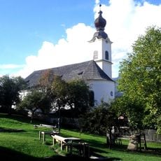
Pfarrkirche hl. Johannes d. T., Haus im Ennstal
6 km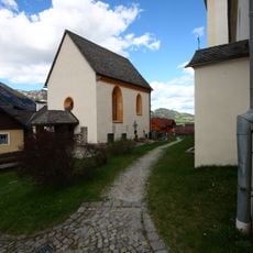
Katharinenkapelle
6 km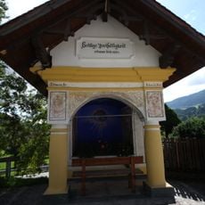
Ortskapelle Pruggern
4.2 km
Zehentspeicher Museum Haus
6 km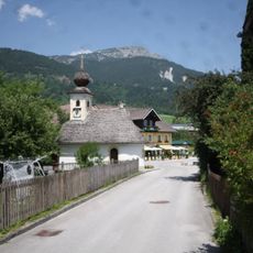
Ortskapelle Maria im Dorn, Aich, Styria
3 km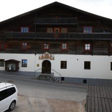
Farmhouse Herzmaierhof, Haus im Ennstal
6 km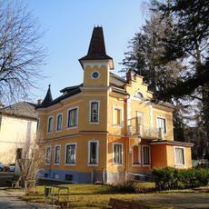
Villa, Gröbming
5.9 km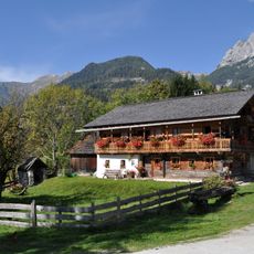
Farmhouse Burgstaller, Ramsau am Dachstein
5.7 km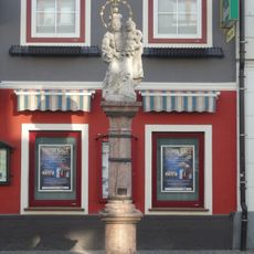
Mariensäule
5.9 km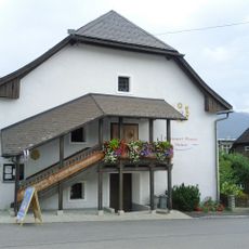
Ehem. Getreidekasten, heute Bücherei
5.8 km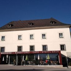
Ehem. Schloss
5.8 km
Spätantike Rückzugsiedlung Knallwand
5.8 km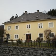
Pfarrhof
2.4 km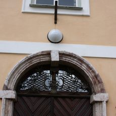
Pfarrhof Gröbming
5.7 km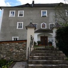
Pfarrhof Haus im Ennstal
6 km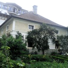
Bürgerhaus, sog. Tatschl, Hoferhaus
5.8 km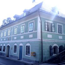
Bürgerhaus, sog. Schnöllerhaus
5.8 km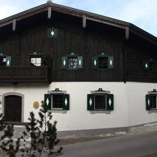
Mesnerhaus, Haus
5.9 kmReviews
Visited this place? Tap the stars to rate it and share your experience / photos with the community! Try now! You can cancel it anytime.
Discover hidden gems everywhere you go!
From secret cafés to breathtaking viewpoints, skip the crowded tourist spots and find places that match your style. Our app makes it easy with voice search, smart filtering, route optimization, and insider tips from travelers worldwide. Download now for the complete mobile experience.

A unique approach to discovering new places❞
— Le Figaro
All the places worth exploring❞
— France Info
A tailor-made excursion in just a few clicks❞
— 20 Minutes