
Feuerkogel, mountain in Austria
Location: Hallstatt
Elevation above the sea: 1,964 m
GPS coordinates: 47.53520,13.62747
Latest update: June 9, 2025 05:05
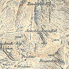
Arschlochwinkel
1.6 km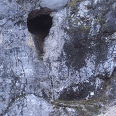
Hirlatzhöhle
1.2 km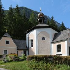
Kalvarienbergkirche (Hallstatt)
2.5 km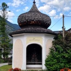
Kreuzwegkapelle I
2.6 km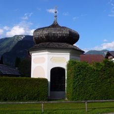
Kreuzwegkapelle III
2.5 km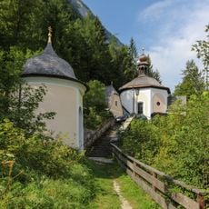
Kreuzwegkapelle IV
2.5 km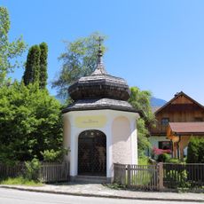
Kreuzwegkapelle II (Hallstatt)
2.6 km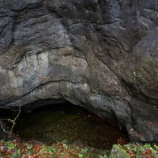
Kessel bei Hallstatt
3 km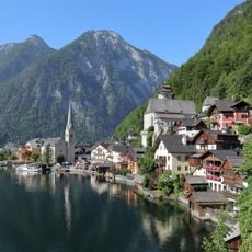
Vorderer Hirlatz
758 m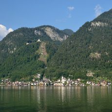
Hohe Sieg
2.8 km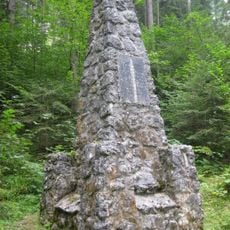
Echerntal-Simony-Denkmal
1.5 km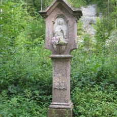
Bildstock Herzog von San Marco, Hallstatt
2.1 km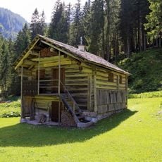
Almhütte
2.1 km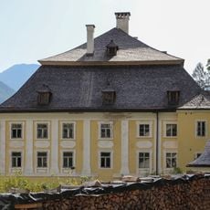
Amtshaus Salinen
2.5 km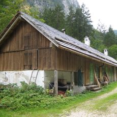
Wirtschaftsgebäude, ehem. Fischereibetrieb
1.8 km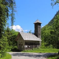
Feuerwehrzeughaus
2 km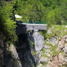
Brücke über dem Waldbach
1.9 km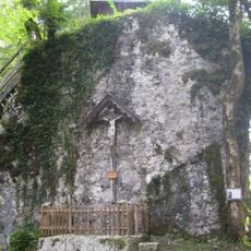
Hallstatt Kreuzstein Wunderbaldinger
2.1 km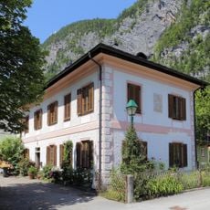
Hallstatt, Salzbergstraße 50
2.6 km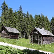
Almhütte
2.1 km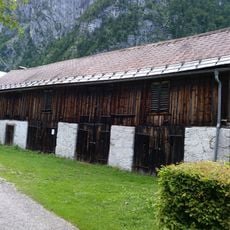
Hallstatt, Barn Demelgasse
2.7 km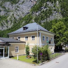
Kindergarten, Salzbergstraße 22, Hallstatt
2.6 km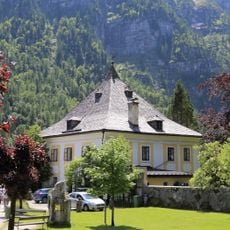
Wohnhaus, Benefizium mit Gartenhaus
2.7 km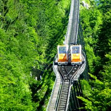
Salzbergbahn
2.7 km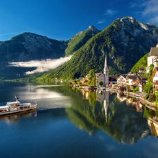
Zwölferkogel
1.4 km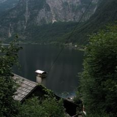
Seewand
2.7 km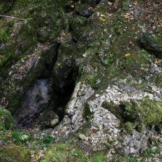
Riesenkarsthöhle Hirschbrunn
2.7 km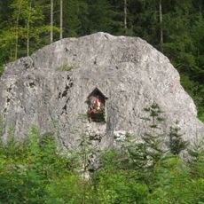
Gedenktafel/-stein
2.2 kmReviews
Visited this place? Tap the stars to rate it and share your experience / photos with the community! Try now! You can cancel it anytime.
Discover hidden gems everywhere you go!
From secret cafés to breathtaking viewpoints, skip the crowded tourist spots and find places that match your style. Our app makes it easy with voice search, smart filtering, route optimization, and insider tips from travelers worldwide. Download now for the complete mobile experience.

A unique approach to discovering new places❞
— Le Figaro
All the places worth exploring❞
— France Info
A tailor-made excursion in just a few clicks❞
— 20 Minutes