
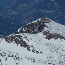
Kalkbretterkopf, mountain in the Goldberg Group in Salzburg
Location: Rauris
Location: Bad Hofgastein
Elevation above the sea: 2,412 m
GPS coordinates: 47.12001,13.03020
Latest update: June 15, 2025 21:32
Stubnerkogel
5.2 km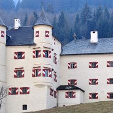
Weitmoserschlössl
7.1 km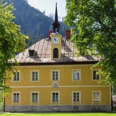
Montansiedlung Colloredohaus, Imhof-Stöckl
7.3 km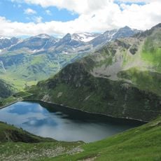
Unterer Bockhartsee
5.2 km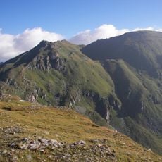
Silberpfennig
3.5 km
Mining Museum Altböckstein
7.3 km
Ritterkopf
6.4 km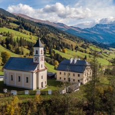
Pfarrkirche Bucheben
6.3 km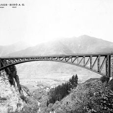
Angerschluchtbrücke
6.4 km
Haitzingalm
5.2 km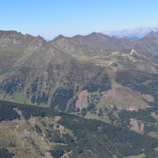
Türchlwand
3.5 km
Untere Astenalm
6.4 km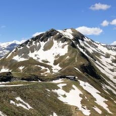
Tischkogel
5 km
Schmerzensmannkapelle, Böckstein
7.3 km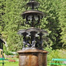
Gusseisenbrunnen Böckstein
7.2 km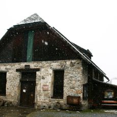
Salzmagazin, Salzstadl; Montanmuseum (Brennholzmagazin)
7.3 km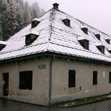
Montansiedlung Goldschlaemmanlage
7.2 km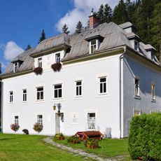
Montansiedlung Direktionsgebäude
7.2 km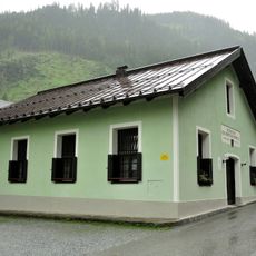
Wohnhaus, Alte Schmiede
7.2 km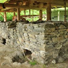
Knappenwelt Angertal
2.4 km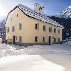
Pfarrhof
6.3 km
Schmelzofen Angertal
2.4 km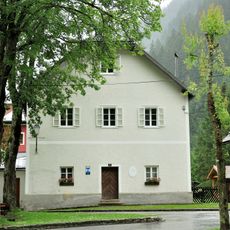
Schule Böckstein
7.3 km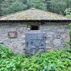
Pulverturm
7.1 km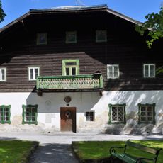
Pfarrhof Böckstein
7.3 km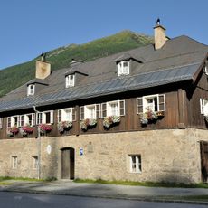
Wäscherhaus (Arbeiterhaus)
7.3 km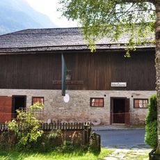
Säumerstall
7.3 km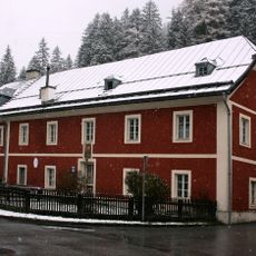
Montansiedlung Werkmeisterhaus
7.2 kmReviews
Visited this place? Tap the stars to rate it and share your experience / photos with the community! Try now! You can cancel it anytime.
Discover hidden gems everywhere you go!
From secret cafés to breathtaking viewpoints, skip the crowded tourist spots and find places that match your style. Our app makes it easy with voice search, smart filtering, route optimization, and insider tips from travelers worldwide. Download now for the complete mobile experience.

A unique approach to discovering new places❞
— Le Figaro
All the places worth exploring❞
— France Info
A tailor-made excursion in just a few clicks❞
— 20 Minutes