
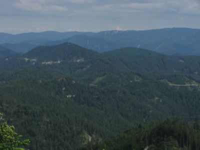
Haberkogel, mountain in the Gutenstein Alps in Lower Austria
Location: Gutenstein
Elevation above the sea: 1,041 m
GPS coordinates: 47.88796,15.79878
Latest update: March 4, 2025 05:42
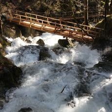
Myra Falls
10.6 km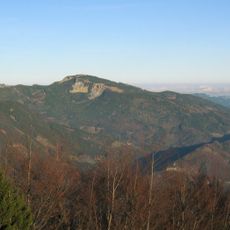
Gutenstein Alps
8.2 km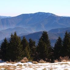
Unterberg
5.8 km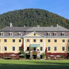
Schloss Hoyos
7 km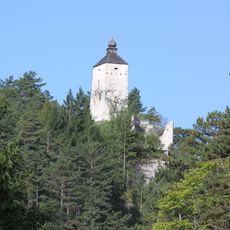
Burgruine Gutenstein
6.7 km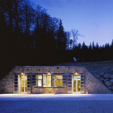
Conrad Observatory
6.3 km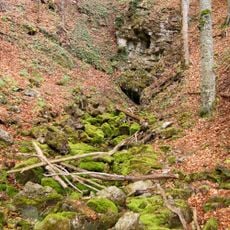
Miralucke
6.7 km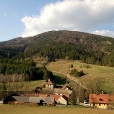
Almesbrunnberg
10.5 km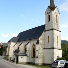
Pfarrkirche Gutenstein
6.7 km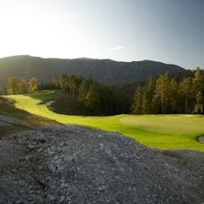
Golfclub Adamstal
8.8 km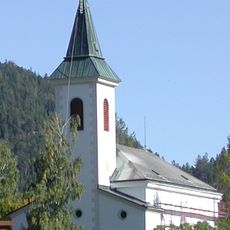
Kath. Pfarrkirche hl. Ulrich, Rohr im Gebirge
4.9 km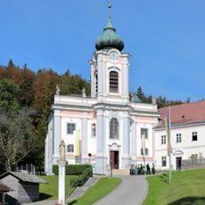
Serviten/-innen-Kloster Gutenstein, Lower Austria
6 km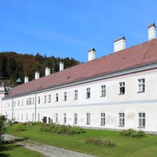
Mariahilfberg monastery
6.1 km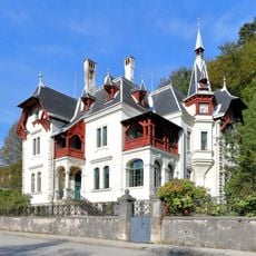
Villa Trebesiner Gutenstein, Lower Austria
7.2 km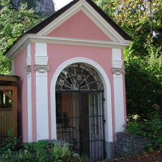
Ferdinand-Raimund-Kapelle Gutenstein, Lower Austria
7.4 km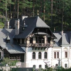
Villa Berl Gutenstein, Lower Austria
5.5 km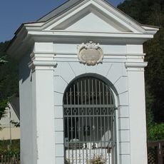
Johannes-Nepomuk-Kapelle in Gutenstein, Lower Austria
6.7 km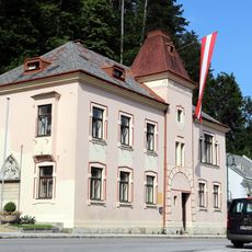
Rathaus/Gemeindeamt in Gutenstein, Lower Austria
6.7 km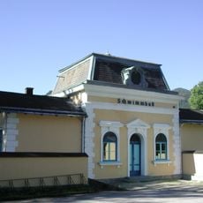
Badeanlage in Gutenstein, Lower Austria
7.3 km
Meierei Urgersbach Gutenstein, Lower Austria
5.3 km
Sog. Raimundvilla
10.5 km
Wurzelweg Gutenstein, Lower Austria
6.2 km
Gärtnerhaus Gutenstein, Lower Austria
5.6 km
Berl-Mausoleum in Gutenstein, Lower Austria
5.8 km
Pfarrhof, Rohr im Gebirge
4.9 km
Jagdhaus in Ramsau, Lower Austria
8.5 km
Villa Somaruga
7.3 km
Ehem. Hammerherrenhaus mit Wirtschaftsgebäude
10.7 kmVisited this place? Tap the stars to rate it and share your experience / photos with the community! Try now! You can cancel it anytime.
Discover hidden gems everywhere you go!
From secret cafés to breathtaking viewpoints, skip the crowded tourist spots and find places that match your style. Our app makes it easy with voice search, smart filtering, route optimization, and insider tips from travelers worldwide. Download now for the complete mobile experience.

A unique approach to discovering new places❞
— Le Figaro
All the places worth exploring❞
— France Info
A tailor-made excursion in just a few clicks❞
— 20 Minutes