
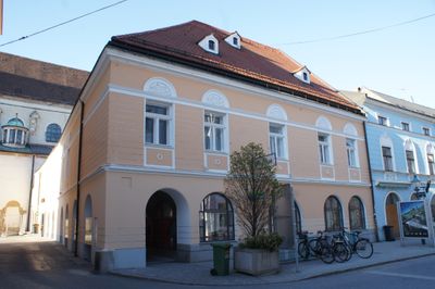
Wiener Straße 31, building in St. Pölten, Austria
Location: St. Pölten
Address: Wiener Straße 31
GPS coordinates: 48.20473,15.62723
Latest update: March 9, 2025 15:15
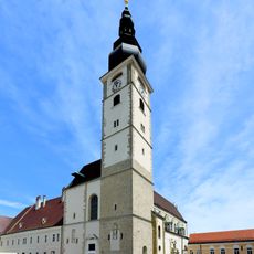
St. Pölten dome
39 m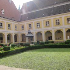
Museum am Dom St. Pölten
102 m
Alumnat St. Pölten
92 m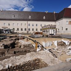
Archaeological excavation at Domplatz
90 m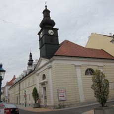
Bürgerspital mit Kapelle
92 m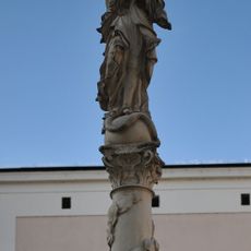
Mariensäule Herrenplatz
103 m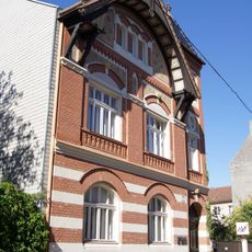
Sporavilla
200 m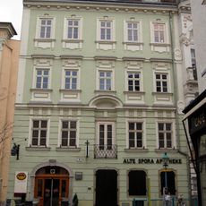
Alte Spora Apotheke
124 m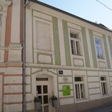
Fuhrmannsgasse 14 & 14a
168 m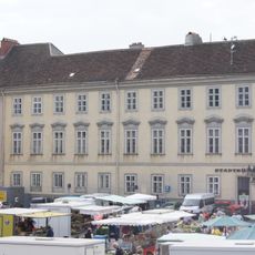
Palais Wallenstein
33 m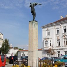
Kriegerdenkmal Hofstatt St. Pölten
148 m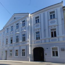
Wiener Straße 34
33 m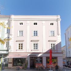
Wohnhaus
83 m
Bezirkshauptmannschaft St. Pölten
190 m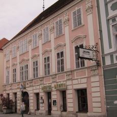
Wiener Straße 36
46 m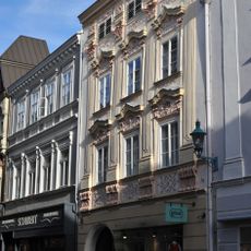
Wiener Straße 4
186 m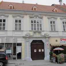
Palais Kriechbaum
42 m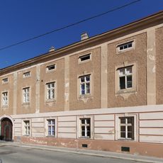
Lederergasse 5, St. Pölten
129 m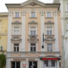
Gasthaus Schwarzer Adler
109 m
Herrenplatz 2
120 m
Gasthof Zu den drei Kronen
74 m
Domgasse 4
182 m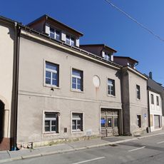
Wohn- und Geschäftshaus
155 m
Bürgerhaus
129 m
Wiener Straße 2
201 m
Wohnhaus
141 m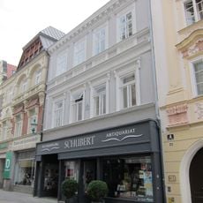
Wiener Straße 6
177 m
Sparkassengebäude
119 mVisited this place? Tap the stars to rate it and share your experience / photos with the community! Try now! You can cancel it anytime.
Discover hidden gems everywhere you go!
From secret cafés to breathtaking viewpoints, skip the crowded tourist spots and find places that match your style. Our app makes it easy with voice search, smart filtering, route optimization, and insider tips from travelers worldwide. Download now for the complete mobile experience.

A unique approach to discovering new places❞
— Le Figaro
All the places worth exploring❞
— France Info
A tailor-made excursion in just a few clicks❞
— 20 Minutes