
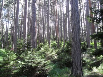
Befestigte Höhensiedlung Burgstall, human settlement in Austria
Location: Ternitz
Address: Burgstall
GPS coordinates: 47.69812,15.99563
Latest update: March 2, 2025 23:24
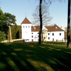
Schloss Vöstenhof
2.4 km
Gfieder
2.2 km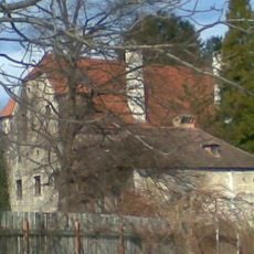
Schloss Pottschach
709 m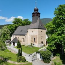
Saint John the Baptist Church
3.2 km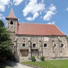
Pfarrkirche Pottschach
743 m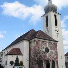
Pfarrkirche Wimpassing im Schwarzatale
1.9 km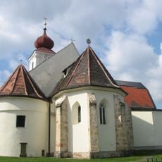
Parish church St. Valentin-Landschach
2.1 km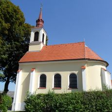
Kath. Filialkirche hl. Florian
2.9 km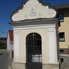
Flur-/Wegkapelle
2.6 km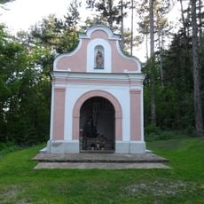
Kalvarienbergkapelle
374 m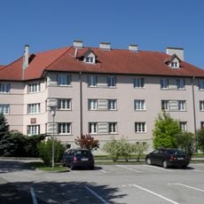
Schuberthof
1.8 km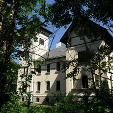
Scherz-Villa (Welzl-Villa)
3 km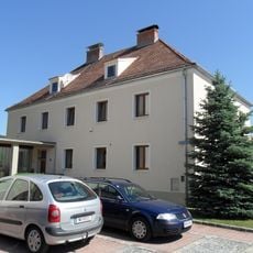
Pfarrhof
1.9 km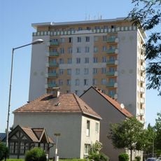
Hochhaus
2.5 km
Teil der 1. Wiener Hochquellenleitung, Aquädukt 10a
498 m
Bildstock Christus an der Geißelsäule
323 m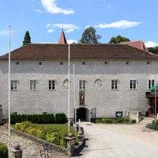
Pfarrhof
755 m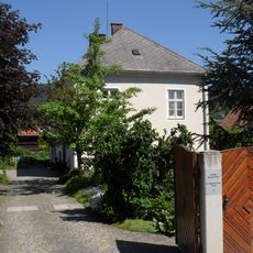
Ehem. Pfarrhof
2.9 km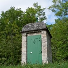
Teil der 1. Wiener Hochquellenleitung
731 m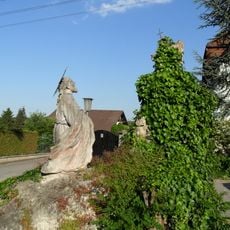
Ölberggruppe
381 m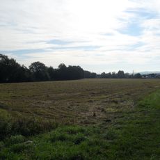
Fundzone Gfiederäcker
2.8 km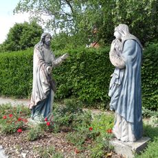
Figurengruppe Christi Abschied von hl. Maria
636 m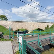
Teil der 1. Wiener Hochquellenleitung
3 km
Teil der 1. Wiener Hochquellenleitung
1.2 km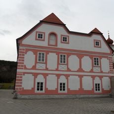
Pfarrhof mit Wirtschaftsgebäude und Umfassungsmauer
2.1 km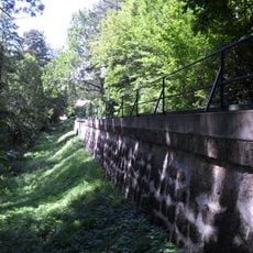
Teil der 1. Wiener Hochquellenleitung, Aquädukt 10a
499 m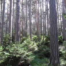
Befestigte Höhensiedlung Burgstall
212 m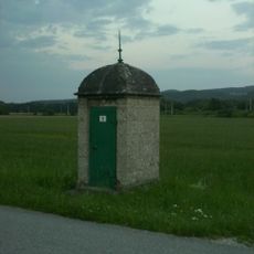
Teil der 1. Wiener Hochquellenleitung
2.4 kmVisited this place? Tap the stars to rate it and share your experience / photos with the community! Try now! You can cancel it anytime.
Discover hidden gems everywhere you go!
From secret cafés to breathtaking viewpoints, skip the crowded tourist spots and find places that match your style. Our app makes it easy with voice search, smart filtering, route optimization, and insider tips from travelers worldwide. Download now for the complete mobile experience.

A unique approach to discovering new places❞
— Le Figaro
All the places worth exploring❞
— France Info
A tailor-made excursion in just a few clicks❞
— 20 Minutes