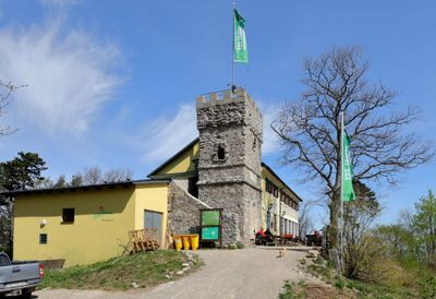
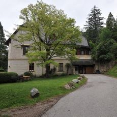
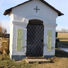
Höllensteinhaus, Schutzhütte der österreichischen Naturfreunde auf dem Gipfel des 645 m hohen Höllensteins im Wienerwald
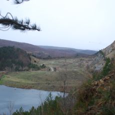
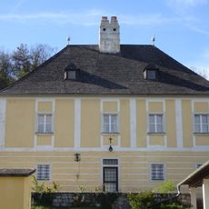
The Höllensteinhaus is a mountain hut and observation tower on the Höllenstein at 645 meters in the Vienna Woods near Kaltenleutgeben. The simple building with large windows stands among trees and offers seating both inside and outside, with a kitchen that serves food and drinks to visitors.
The Höllensteinhaus was built as a simple rest stop for walkers in the Vienna Woods and has grown into an established destination. In 2013 it received an Austrian environmental award, showing the site has long held a commitment to protecting the local forest.
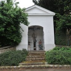
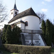
The Höllensteinhaus sits along the Wiener Mariazeller Weg, a pilgrimage route where walkers and pilgrims pass through the region. The hut serves as a gathering point where visitors rest and share the experience of traveling through the woods together.
The hut is open Thursday to Sunday from late morning to evening, with the kitchen serving food from April to October. Visitors should call ahead to reserve a simple room for overnight stays, and note that only cash is accepted for payment.
The Julienturm, a masonry observation tower next to the hut, offers panoramic views over the Vienna Woods with trees and distant hills in all directions. Climbing to the top is a simple reward that repays the effort of the forest walk with memorable views from above.
The community of curious travelers
AroundUs brings together thousands of curated places, local tips, and hidden gems, enriched daily by 60,000 contributors worldwide.