
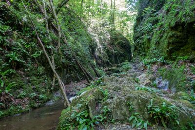
Badlgrabenbach, Creek near Badl in Styria
Location: Frohnleiten
Location: Peggau
GPS coordinates: 47.22599,15.34129
Latest update: October 29, 2025 18:36
Repolusthöhle
571 m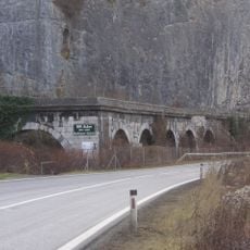
Badlwandgalerie
347 m
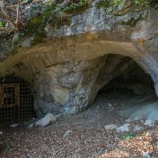
Badlhöhle
569 m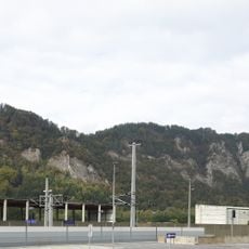
Kugelstein
493 m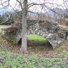
Römerbrücke, Adriach
947 m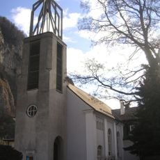
Friedenskirche, Peggau
1.9 km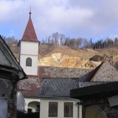
Filialkirche hl. Margaretha, Peggau
1.8 km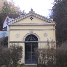
Ferdinandskapelle
172 m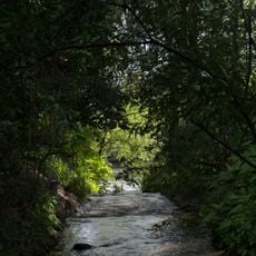
Hammerbach
945 m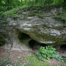
Kugelsteinhöhle I
377 m
Schmelzbach
945 m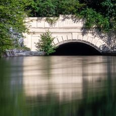
Stollenportal des Kraftwerks Peggau-Deutschfeistritz
1.1 km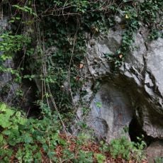
Buchenhöhle
436 m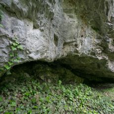
Schichtfugenhöhle
122 m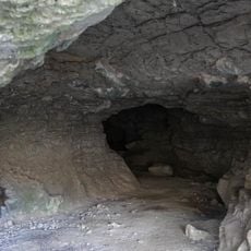
Kugelsteinhöhle II
418 m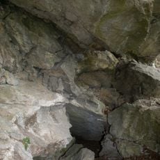
Schichtgrenzhöhle
525 m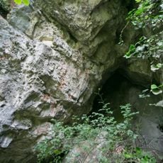
Nischenhöhle
78 m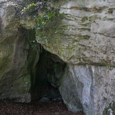
Kluftfugenhöhle
433 m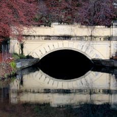
Stollenportal des Kraftwerks Peggau-Deutschfeistritz
696 m
Tempelanlage und Befestigung, Adriach
348 m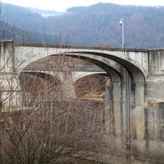
Wehranlage Adriach
1.7 km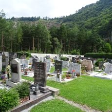
Friedhof Peggau
1.8 km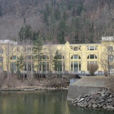
Old power plant building Deutschfeistritz
1.9 km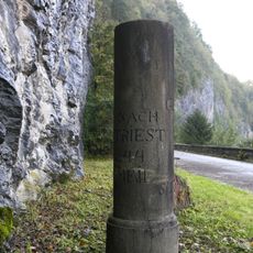
Ehemaliger Postmeilenstein, Peggau
140 m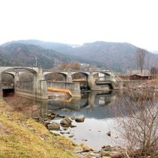
Kraftwerk Peggau-Deutschfeistritz
1.7 km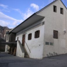
Mesnerhaus, Peggau
1.9 km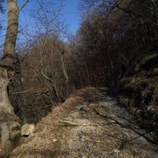
Altweg (Römerweg) oberhalb der Badlgalerie
323 m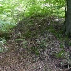
Wehranlage (Turmhügel) Badl
210 mReviews
Visited this place? Tap the stars to rate it and share your experience / photos with the community! Try now! You can cancel it anytime.
Discover hidden gems everywhere you go!
From secret cafés to breathtaking viewpoints, skip the crowded tourist spots and find places that match your style. Our app makes it easy with voice search, smart filtering, route optimization, and insider tips from travelers worldwide. Download now for the complete mobile experience.

A unique approach to discovering new places❞
— Le Figaro
All the places worth exploring❞
— France Info
A tailor-made excursion in just a few clicks❞
— 20 Minutes