
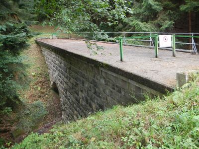
Kanalbrücke Geißelhofer, Kanalbrücke der II. Wiener Hochquellenwasserleitung in Pyhra
Location: Pyhra
Part of: Second Vienna Mountain Spring Pipeline
GPS coordinates: 48.14572,15.68736
Latest update: March 13, 2025 02:56
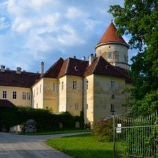
Schloss Wald
2 km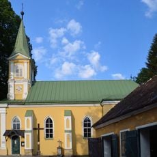
Pfarrkirche Mariä Himmelfahrt, Wald, Pyhra
2 km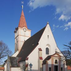
Pfarrkirche Pyhra
1.5 km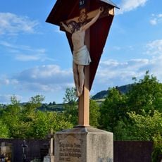
Friedhofskreuz
2.1 km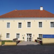
Rathaus/Gemeindeamt, ehem. Musterschule
1.5 km
Harlander Aquädukt, II HQL, Pyhra
2.2 km
Kanalbrücke Kessel
1.6 km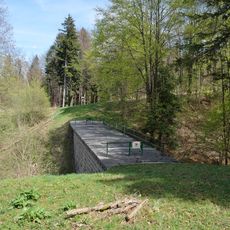
2 Kanalbrücken (Nützling 1, 2), Einsteigturm 87
2.9 km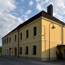
Pfarrhof Wald
2.1 km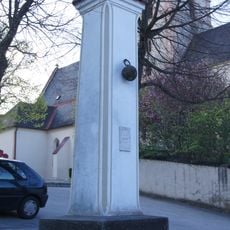
Pranger
1.4 km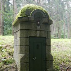
Kanalbrücke Probstwald, II HQL, Pyhra
1.9 km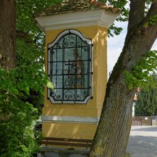
Bildstock
1.6 km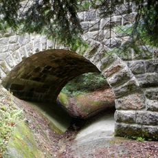
Kanalbrücke Geißelhofer
10 m
Perschlingdüker
246 m
Kanalbrücke Kessel, II HQL, Pyhra
1.6 km
Kanalbrücke Geißelhofer
0 m
Ehem. landwirtschaftliche Fachschule
966 m
Pfarrhof Pyhra
1.4 km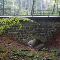
Kanalbrücke Reichebner, II HQL, Pyhra
881 m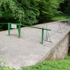
Kanalbrücke Ochsenburg
3.2 km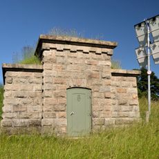
Michelbachdüker
4.1 km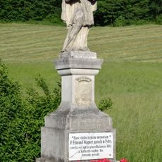
Statue of John of Nepomuk, Wald, Pyhra
1.5 km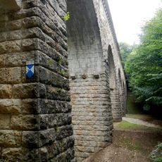
Reintalaquädukt
1.7 km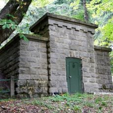
Auslaufkammer Perschlingdüker (AK 86)
805 m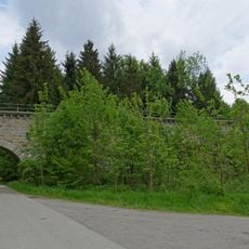
Harlander Aquädukt
2.2 km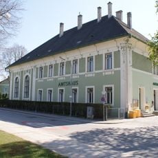
Amtshaus Harland
4 km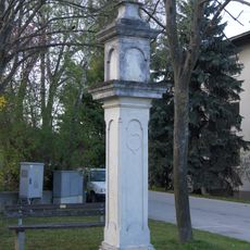
Bildstock, Pestsäule
1.4 km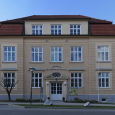
Hauptschule
1.4 kmReviews
Visited this place? Tap the stars to rate it and share your experience / photos with the community! Try now! You can cancel it anytime.
Discover hidden gems everywhere you go!
From secret cafés to breathtaking viewpoints, skip the crowded tourist spots and find places that match your style. Our app makes it easy with voice search, smart filtering, route optimization, and insider tips from travelers worldwide. Download now for the complete mobile experience.

A unique approach to discovering new places❞
— Le Figaro
All the places worth exploring❞
— France Info
A tailor-made excursion in just a few clicks❞
— 20 Minutes