Zangilan District, Administrative district in southwestern Azerbaijan.
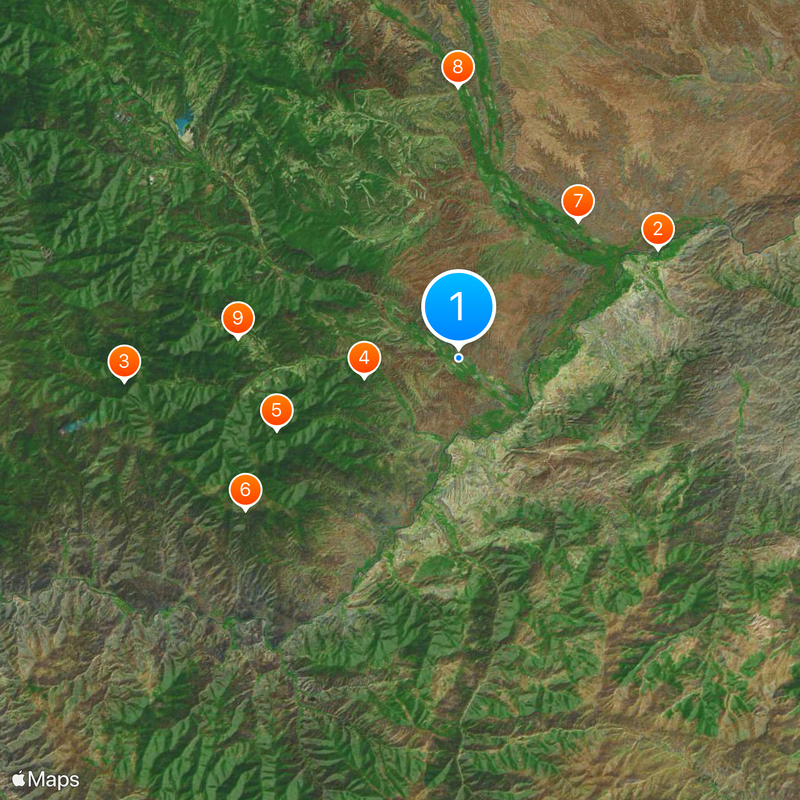
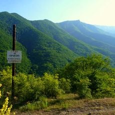
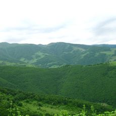
Zangilan District lies in southwestern Azerbaijan along the Aras River and features mountainous terrain shaped by ancient geological processes. The landscape comprises volcanic and sedimentary rocks with Mesozoic formations and holds substantial deposits of molybdenum, gold, and limestone.
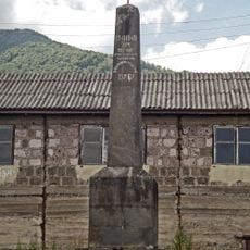
The territory was known in medieval times as Grakhmu castle and experienced a significant change in control during 2020. This shift marked an important turning point in the region's recent past.
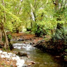
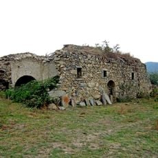
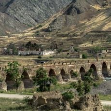
The district preserves several stone structures from past centuries, including a circular tower in Khadijally and an octagonal mausoleum dedicated to a religious scholar. These buildings reflect the architectural traditions that shaped the region over time.
The district sits in a mountainous region with varying elevations and requires appropriate gear for exploration. The area is accessible through various routes and offers changing conditions depending on the season.
A small settlement called Agali became the first village to welcome back residents who had been away for decades. This return holds deep meaning for those reconnecting with their homeland after a long absence.
The community of curious travelers
AroundUs brings together thousands of curated places, local tips, and hidden gems, enriched daily by 60,000 contributors worldwide.