Zardab District, Administrative district in central Azerbaijan
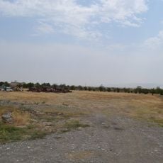
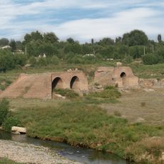
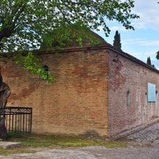
Zardab District is an administrative district in central Azerbaijan, made up mostly of flat lowland terrain. The Kura River runs through it, and parts of the land sit below sea level.
The district was created in 1935 as part of the Soviet reorganization of Azerbaijan. When the Soviet Union ended in 1991, it became part of the newly independent country.
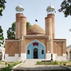
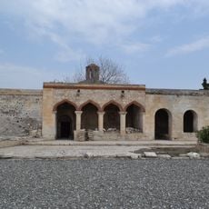
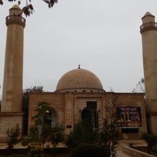
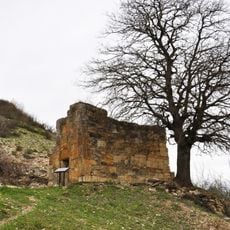
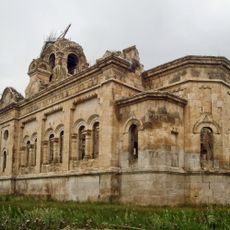
The district's name comes from Persian words referring to historical flood patterns of the Kura River in this region. Visitors can still observe this connection to the landscape today through the river's waterways and the surrounding plains.
The district borders several neighboring regions, making it easy to pass through when traveling across central Azerbaijan. Summers here are very hot, so visiting in spring or autumn is more comfortable.
The name Zardab comes from Persian and refers to the old flood patterns of the Kura River in this area. Walking along the river today, you can still sense why the landscape inspired that name.
The community of curious travelers
AroundUs brings together thousands of curated places, local tips, and hidden gems, enriched daily by 60,000 contributors worldwide.