Aghjabadi District, Administrative district in central Azerbaijan.
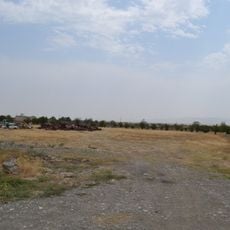
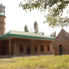
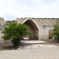
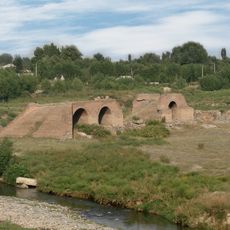
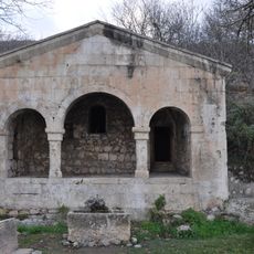
Aghjabadi District is an administrative region in central Azerbaijan with diverse terrain ranging from plains to rolling hills. The area comprises multiple villages scattered across the landscape, supporting agricultural and pastoral activities.
The area became a named administrative district in 1930 and underwent a temporary administrative merger before being restored to independent status. This transformation reflected broader territorial reorganization efforts of that period.
The region has served as a center for livestock herding and farming over many centuries, shaping how people live and work today. Traditional economic practices continue to define daily life in the villages.
Visitors should be prepared for varied terrain when traveling through the district, as villages are spread across a large area. The experience is best enjoyed with adequate time to explore different communities and understand local agricultural practices.
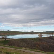
A nature reserve within the district protects local wildlife and plant species while serving as a research location for environmental studies. This protected area offers insight into the region's natural ecosystems and conservation efforts.
Location: Azerbaijan
Inception: August 8, 1930
Capital city: Aghjabadi
Elevation above the sea: 39 m
Website: http://agcabedi-ih.gov.az
GPS coordinates: 40.05278,47.46139
Latest update: December 7, 2025 20:21
Tigranakert of Artsakh
47.4 km
Amaras Monastery
53.7 km
Shahbulag Castle
47.4 km
Aghdam Mosque
45.6 km
Barda Tower Mausoleum
46.4 km
Imarat Stadium
45.7 km
Aghgol National Park
16.8 km
Vankasar church
48.9 km
Bread Museum
45.7 km
Imamzadeh Mausoleum
46.1 km
Panah Ali Khan’s Palace
45 km
Shrine of the Prophet Jarjis
31.7 km
Tigranakert Fortress
48.5 km
Bri church
47.6 km
Church of St. Nerses the Great
41.6 km
Mirali Mausoleum
45.5 km
Haji Alakbar Mosque
57.6 km
Uğurbəyli məscidi
45.6 km
Nargiztapa
32.1 km
Giyasly village Mosque
46.3 km
Akhsadan Baba Mausoleum
46.5 km
Bridge over Tartar River in Barda
45.6 km
Shahbulag Mosque
47.4 km
Ashaghy Kondalanchay reservoir
54.8 km
Ilanlitepe
39.1 km
Bahman Mirza Qajar Mausoleum
46.2 km
Tank monument of The First Nagorno-Karabakh War
53.7 km
Russian Orthodox church in Xocavənd
42.4 kmVisited this place? Tap the stars to rate it and share your experience / photos with the community! Try now! You can cancel it anytime.
Discover hidden gems everywhere you go!
From secret cafés to breathtaking viewpoints, skip the crowded tourist spots and find places that match your style. Our app makes it easy with voice search, smart filtering, route optimization, and insider tips from travelers worldwide. Download now for the complete mobile experience.
A unique approach to discovering new places❞
— Le Figaro
All the places worth exploring❞
— France Info
A tailor-made excursion in just a few clicks❞
— 20 Minutes