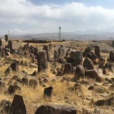
Yardimli District, Administrative district in southeastern Azerbaijan
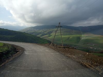
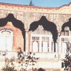
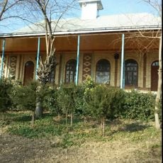
Yardimli is an administrative district in southeastern Azerbaijan, made up of forested mountain slopes covered mainly by beech, hornbeam, and oak trees. The district holds several small settlements spread across these slopes, connected by narrow roads that wind through the dense forest.
The area was formally set up as an administrative unit in 1930 and took its current name in 1938, having previously been known as a small rural settlement. These changes came as part of a wider reorganization of administrative boundaries across Soviet Azerbaijan.
The Talysh people have lived in this area for generations, and their presence shapes the food, handmade textiles, and village celebrations that visitors can observe today. In smaller communities, this way of life continues in a way that feels natural and uninterrupted.
The mountain roads through the district can be narrow and winding, so a vehicle with good clearance is a practical choice. In wet weather the forested paths become slippery, so it is worth planning extra time for any movement on foot or by road.
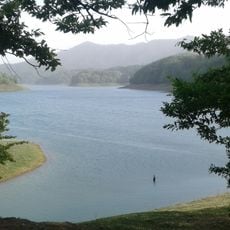
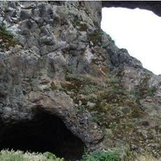
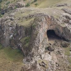
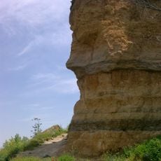
The Vilesh River has carved narrow gorges into the forested rock over time, and these hidden cuts in the landscape are rarely visible from the road. Walkers who follow the riverbanks on foot are likely to come across them by surprise.
The community of curious travelers
AroundUs brings together thousands of curated places, local tips, and hidden gems, enriched daily by 60,000 contributors worldwide.