Brčko District

Log in to your account

AroundUs is a community-driven map of interesting places, built by curious explorers like you. It grows with every review, story, and photo you share.
Connect to save your favorite spots, contribute locations, and create personalized routes.
Continue with Google
Continue with Apple
Continue with X
Continue with Facebook
Continue with email
By continuing, you accept our Terms and Conditions and our Privacy Policy
Create an account
Add to collection
Map
Suggest a change
Share

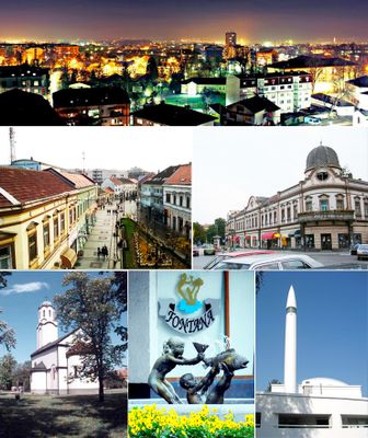
Brčko District, Administrative district in northeastern Bosnia and Herzegovina.

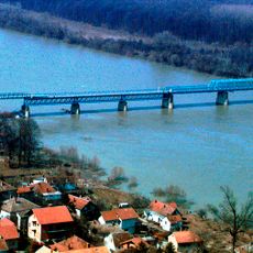
Brčko District is an administrative unit in northeastern Bosnia and Herzegovina that runs as a narrow corridor between the two entities of the country. The territory stretches along the Sava River and connects important transport routes that cross flat agricultural land from east to west.

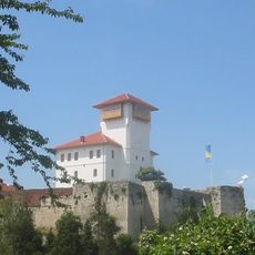
The administrative unit emerged as a result of negotiations following the Dayton Agreement in 1995 and received its formal status in March 1999. This solution ended years of disputes over the territorial affiliation of the strategically important area along the river.

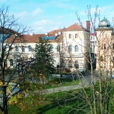
The name comes from the town that serves as the administrative seat, where residents from all three groups share streets and public spaces in everyday life. This coexistence appears in schools, where children follow different curricula but use the same buildings and playgrounds together.

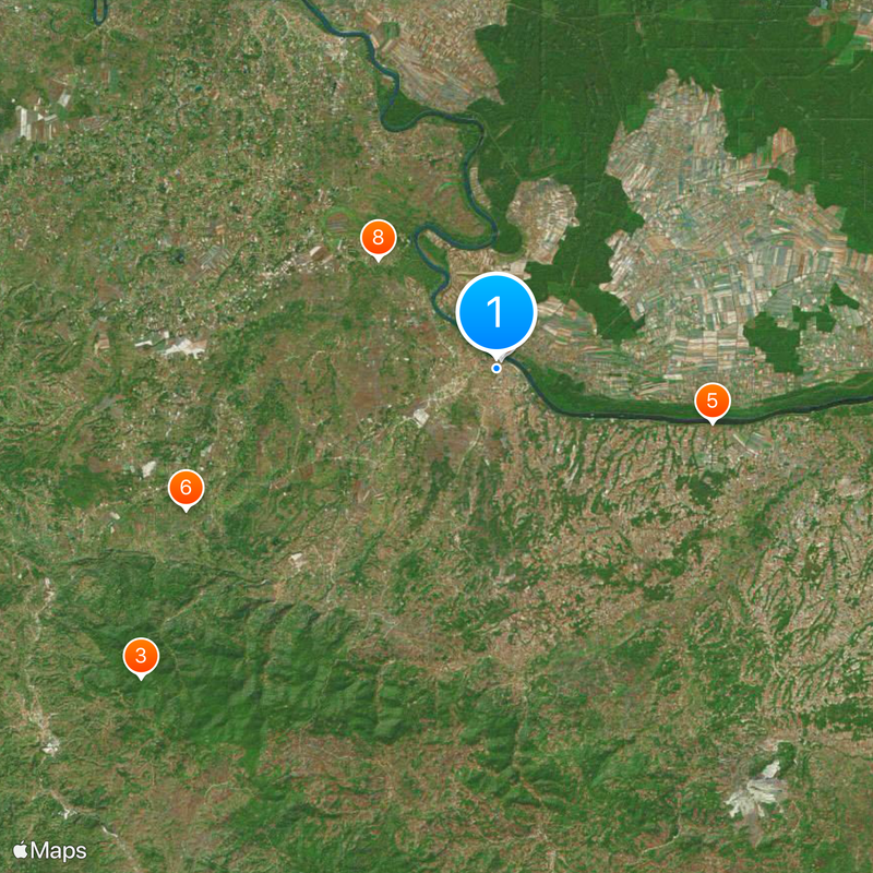
The area can be reached via main roads from Tuzla, Bijeljina and Zagreb, with border crossings to Croatia nearby. Visitors should note that administrative procedures may differ from those in the two other entities.

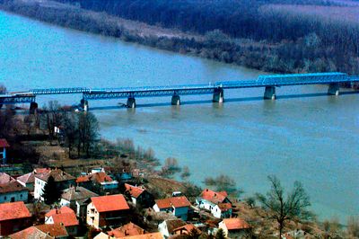
The administrative structure functions as a condominium between both entities, making it the only area of this kind in Europe. Along the riverbank sits the largest inland port in the country, moving goods between Central Europe and the Balkans.

Location: Bosnia and Herzegovina

Location: Federation of Bosnia and Herzegovina

Location: Republika Srpska

Inception: March 5, 1999

Capital city: Brčko

Shares border with: Republika Srpska, Federation of Bosnia and Herzegovina

Website: http://bdcentral.net

GPS coordinates: 44.87361,18.80694

Latest update: December 13, 2025 16:59

Photos
Reviews

Visited this place? Tap the stars to rate it and share your experience / photos with the community! Try now! You can cancel it anytime.

« Brčko District - Administrative district in northeastern Bosnia and Herzegovina » is provided by Around Us (aroundus.com). Images and texts are derived from Wikimedia project under a Creative Commons license. You are allowed to copy, distribute, and modify copies of this page, under the conditions set by the license, as long as this note is clearly visible.

Discover hidden gems everywhere you go!

From secret cafés to breathtaking viewpoints, skip the crowded tourist spots and find places that match your style. Our app makes it easy with voice search, smart filtering, route optimization, and insider tips from travelers worldwide. Download now for the complete mobile experience.

Around Us App Screenshot

A unique approach to discovering new places

Le Figaro

All the places worth exploring

France Info

A tailor-made excursion in just a few clicks

20 Minutes