Derventa, town in Derventa Municipality, Bosnia and Herzegovina
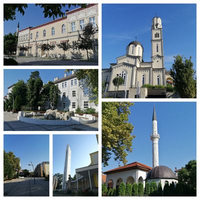
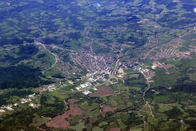
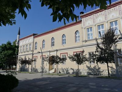
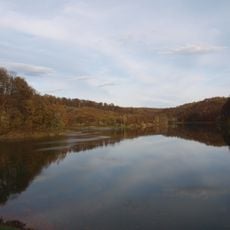
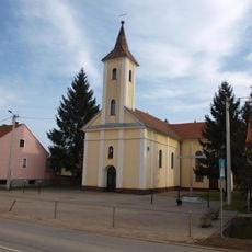
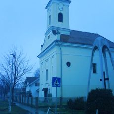
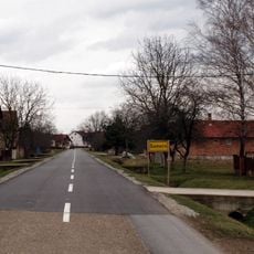
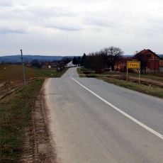
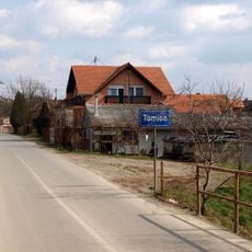
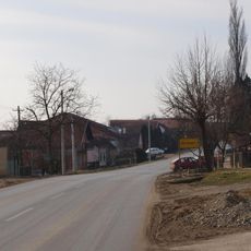
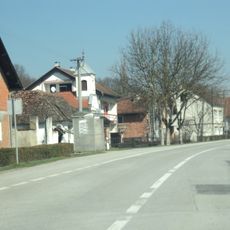
Derventa is a town in northern Bosnia and Herzegovina situated along the Ukrina river and surrounded by green spaces and forests. The place combines older buildings with newer structures, featuring streets, squares, and local shops where residents carry out their daily activities.
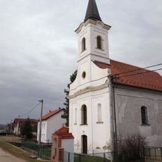
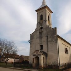
The town originated in the 16th century under Ottoman rule and served as an important trading center with a fortress built for regional defense. In the 19th century, it grew economically through manufacturing and industry, though it suffered significant damage during recent wars and underwent rebuilding afterward.
Derventa hosts several traditional festivals throughout the year where residents display local music, dance, and crafts. The Fishijada and Somijada festivals have brought the community together for more than half a century, celebrating fishing traditions and regional food.
The town is easy to explore on foot and local residents readily share tips about restaurants and places to visit. The center is compact, with shops, cafes, and markets where visitors can sample local food and observe everyday life in the community.
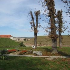
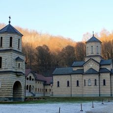
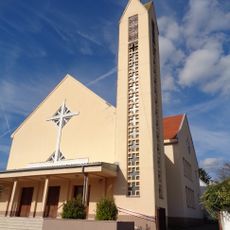
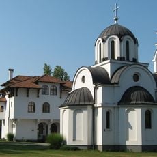
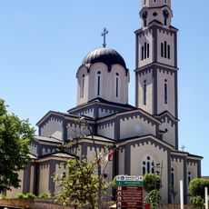
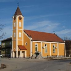
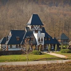
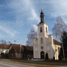
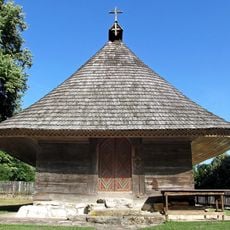
The Detlak complex, comprising a church, monastery, and cemetery, was designated a cultural monument in 2010. Situated on a hillside between two rivers, this site holds graves of religious scholars and community leaders whose stories reflect centuries of local spiritual life.
The community of curious travelers
AroundUs brings together thousands of curated places, local tips, and hidden gems, enriched daily by 60,000 contributors worldwide.