
Ljubinje, human settlement
Location: Ljubinje Municipality
GPS coordinates: 42.95000,18.08333
Latest update: March 20, 2025 14:48
Daorson
21.4 km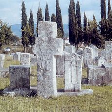
Necropolis of stecci at Radimlja, the historic site
20.5 km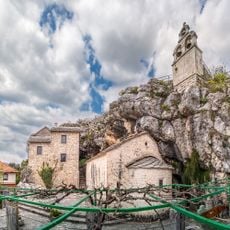
Zavala Monastery
14 km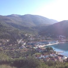
Slano
23.9 km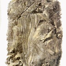
Badanj Cave
22.7 km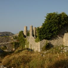
Hutovo Fortress
22.1 km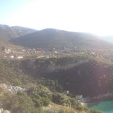
Brsečine
26.5 km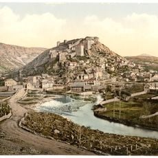
Walled town of Vidoški
17.9 km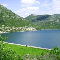
Vrutak
20.6 km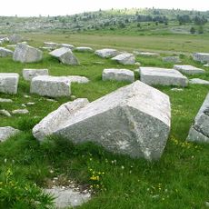
Stećci
20.5 km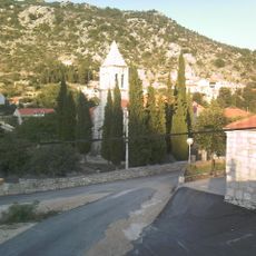
Osojnik, Dubrovnik
26.4 km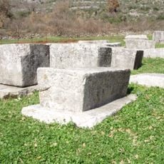
Boljuni necropolis
19.1 km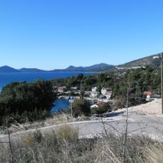
Banići
25 km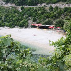
Veliki žali Beach
26.6 km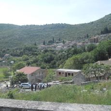
Ljubač, Dubrovnik
25.9 km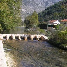
Ensemble naturel et architectural de la Bregava à Stolac
15.4 km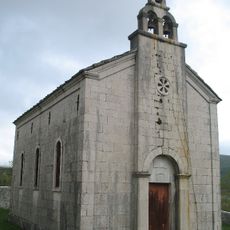
Église Saint-Lazare de Vlahovići
7.8 km
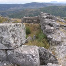
Prehistoric hillfort Strazevica
19.8 km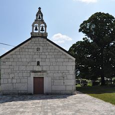
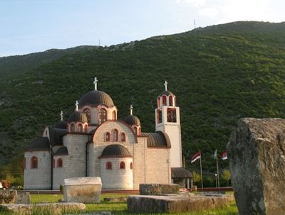
Church of the Nativity of Holy Virgin Mary Ljubinje
783 m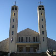
Crkva Svih Svetih u Aladinićima
26.4 km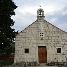
Trnova
23.7 km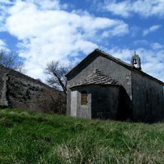
Église Saint-Basile-d'Ostrog de Mišljen
7.3 km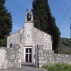
Točionik
23.7 km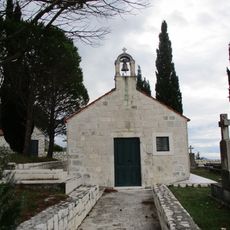
Podgora, Dubrovačko primorje
23.2 km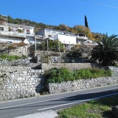
Kručica, Dubrovačko primorje
25.9 km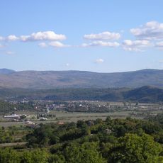
Stolačko polje
19.7 km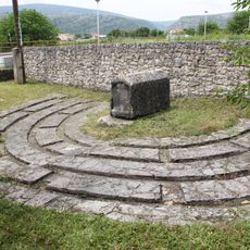
Tomb of Moshe Danon
19.7 km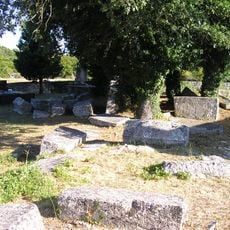
Brštanica necropolis
25.6 kmVisited this place? Tap the stars to rate it and share your experience / photos with the community! Try now! You can cancel it anytime.
Discover hidden gems everywhere you go!
From secret cafés to breathtaking viewpoints, skip the crowded tourist spots and find places that match your style. Our app makes it easy with voice search, smart filtering, route optimization, and insider tips from travelers worldwide. Download now for the complete mobile experience.

A unique approach to discovering new places❞
— Le Figaro
All the places worth exploring❞
— France Info
A tailor-made excursion in just a few clicks❞
— 20 Minutes