Čorina Jama, Höhle in Bosnien und Herzegowina
Location: Federation of Bosnia and Herzegovina
GPS coordinates: 44.38250,17.22417
Latest update: April 22, 2025 19:39
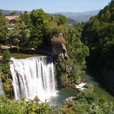
Pliva Waterfall
6.2 km
Jajce Mithraeum
5.7 km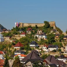
Walled city of Jajce
6 km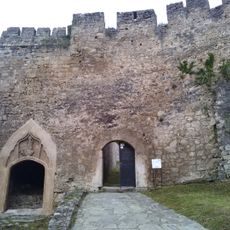
Jajce Fortress
5.9 km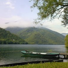
Pliva Lakes
4 km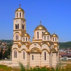
Temple of Saint Sava in Mrkonjić Grad
11.3 km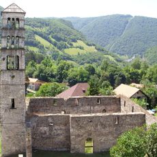
St. Mary’s Church with St. Luke’s Belltower
6 km
Catacombs in Jajce, the historical monument
5.9 km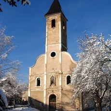
Saints Philip and James Church, Mrkonjić Grad
11.9 km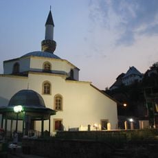
Sultana Esma Mosque
6.1 km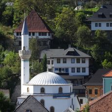
Esma Sultana Mosque architectural ensemble
6 km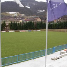
Gradski stadion Luke
11.5 km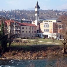
Franciscan monastery of Saint Luke, Jajce
6.1 km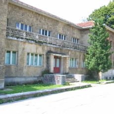
Museum of the Second session of the AVNOJ
6.1 km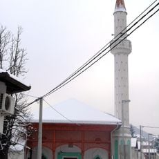
Mosquée Hamidija
11.9 km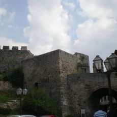
Ramparts of the Walled city of Jajce
6 km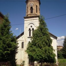
Église de la Nativité-de-la-Mère-de-Dieu de Mrkonjić Grad
11.8 km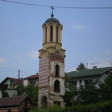
Église de la Mère-de-Dieu de Jajce
5.7 km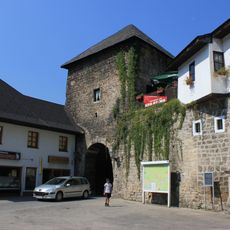
Travnik Gate
6.1 km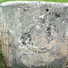
Stećak à Baljvine
11.1 km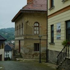
Sarač’s house, the Finances Building (Lower Vocational School) and the Old primary school (Lower Music School), the architectural ensemble
6 km
Category:Banja Luka Gate of Walled city of Jajce
6 km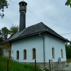
Okić Mosque
5.9 km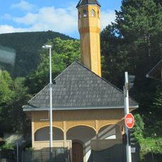
Ramadan beg's mosque
5.9 km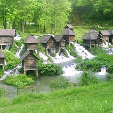
Pliva River Watermills
4 km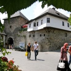
Omerbeg house
6.1 km
Kršlak house (2nd house)
6 km
Reviews
Visited this place? Tap the stars to rate it and share your experience / photos with the community! Try now! You can cancel it anytime.
Discover hidden gems everywhere you go!
From secret cafés to breathtaking viewpoints, skip the crowded tourist spots and find places that match your style. Our app makes it easy with voice search, smart filtering, route optimization, and insider tips from travelers worldwide. Download now for the complete mobile experience.

A unique approach to discovering new places❞
— Le Figaro
All the places worth exploring❞
— France Info
A tailor-made excursion in just a few clicks❞
— 20 Minutes