
Društveni dom, Kulturgut in Bosnien und Herzegowina
Location: City of Konjic
Address: Varda
GPS coordinates: 43.65401,17.95911
Latest update: March 6, 2025 18:42
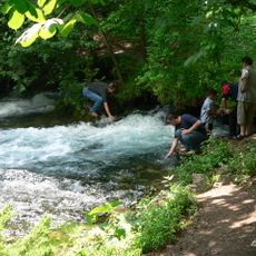
Vrelo Bosne
31 km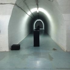
Armijska Ratna Komanda
3.6 km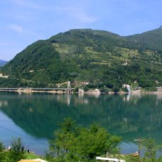
Jablanica lake
9.8 km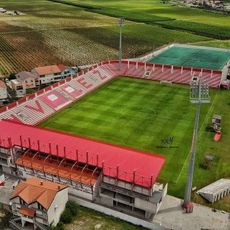
Rođeni Stadium
31.8 km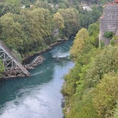
Die Brücke in Jablanica
15.9 km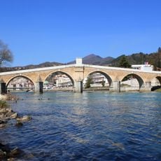
Stara Ćuprija
436 m
Roman bridge in Ilidža
32.9 km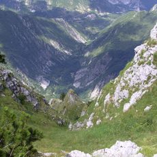
Drežnica Valley
26.5 km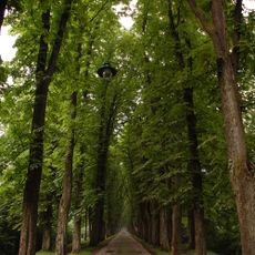
Velika aleja
32.7 km
Pločno
33.2 km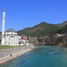
Tekija-Moschee in Konjic
701 m
Memorial Complex Neretva Battle
16.2 km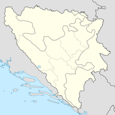
Biskup necropolis
22.1 km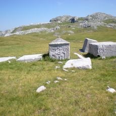
Poljice necropolis
23.9 km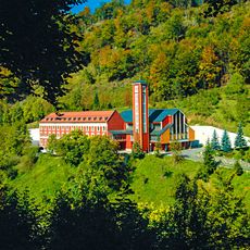
Kreševo Franciscan Convent
24.3 km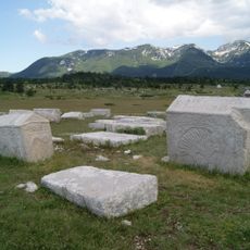
Dugopolje necropolis
33.4 km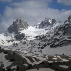
Zelena glava
12.4 km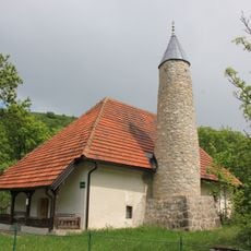
Umoljani mosque
21.6 km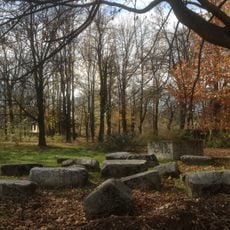
Crkvina stećaks necropolis and remains of a pre-Romanesque church
31.4 km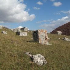
Umoljani necropolis
22.3 km
Klokočevica
27.9 km
Plocno
33.2 km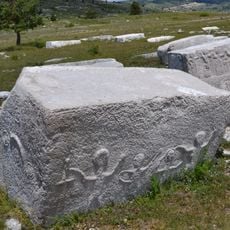
Nécropole de Risovac
30.8 km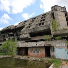
Hotel Igman
27.6 km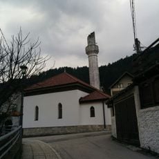
Varda Meskita
141 m
Vrelo Bosne
31 km
Most Begića i Begovića
19 km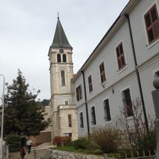
Franciscan monastery, the architectural ensemble
321 mReviews
Visited this place? Tap the stars to rate it and share your experience / photos with the community! Try now! You can cancel it anytime.
Discover hidden gems everywhere you go!
From secret cafés to breathtaking viewpoints, skip the crowded tourist spots and find places that match your style. Our app makes it easy with voice search, smart filtering, route optimization, and insider tips from travelers worldwide. Download now for the complete mobile experience.

A unique approach to discovering new places❞
— Le Figaro
All the places worth exploring❞
— France Info
A tailor-made excursion in just a few clicks❞
— 20 Minutes