Enable Location

We need your location to show you interesting places around you

Discover nearby places

Find interesting locations and hidden gems around you

Precise directions

Get accurate directions and distances to places

Your location is never shared with other users. It's only used when you tap the location button.

Patuakhali District

Log in to your account

Start exploring — it's free

Trusted by 61,417 travelers worldwide

Continue with Google
Continue with Apple
or

We will send you a code to connect

By continuing, you accept our Terms and Conditions and our Privacy Policy

Check your inbox

We've sent a pincode in your inbox. Please enter the code below.

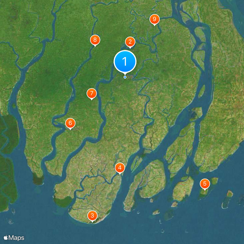
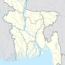
Patuakhali District, Administrative district in Barisal Division, Bangladesh

Description

Patuakhali District is an administrative region in Barisal Division comprising eight administrative subdivisions and a landscape shaped by waterways and coastal features. The territory lies between the Bay of Bengal and is characterized by its delta-like geography with numerous rivers and water bodies.

History

The region became an independent district in 1969 when it separated from Bakerganj District as a distinct administrative entity. This creation marked a turning point that allowed for localized development and governance structures tailored to the area's needs.

Culture

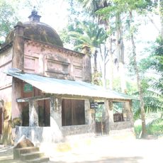
The region preserves traditional performance arts such as Jatragan and Kabigan, which are performed during local celebrations and community gatherings. These art forms reflect the creative heritage that shapes how people here express themselves and mark important occasions.

Practical

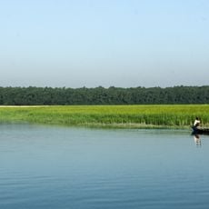
The area is shaped by agricultural activities, particularly rice cultivation and deep-sea fishing, which define daily routines and economic patterns for residents. Visitors should plan their trips during seasons when these activities are most visible and when local communities are actively working the land and waters.

Did you know?

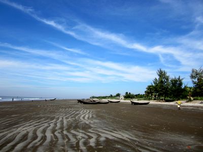
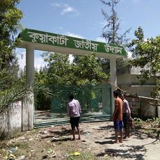
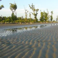
Kuakata Beach along the coast offers a rare feature where both sunrise and sunset can be viewed over water from the same location. This geographical particularity makes it a notable destination for those seeking this uncommon experience of light over water at both ends of the day.

Location
Inception
1969
Capital city
Patuakhali
Elevation above the sea
6 m
Shares border with
Barguna District, Barishal District, Bhola District
GPS coordinates
22.35420,90.31810
Latest update
December 27, 2025 23:43

AroundUs brings together thousands of curated places, local tips, and hidden gems, enriched daily by 60,000 contributors worldwide. Discover all places nearby (Barisal Division).

« Patuakhali District - Administrative district in Barisal Division, Bangladesh » is provided by Around Us (aroundus.com). Images and texts are derived from Wikimedia project under a Creative Commons license. You are allowed to copy, distribute, and modify copies of this page, under the conditions set by the license, as long as this note is clearly visible.

Discover hidden gems everywhere you go!

From secret cafés to breathtaking viewpoints, skip the crowded tourist spots and find places that match your style. Our app makes it easy with voice search, smart filtering, route optimization, and insider tips from travelers worldwide. Download now for the complete mobile experience.

Around Us App Screenshot

A unique approach to discovering new places

Le Figaro

All the places worth exploring

France Info

A tailor-made excursion in just a few clicks

20 Minutes

Around Us
Travel Guide & Maps
Download

Send to your phone

QR Code
1

Open the camera app on your mobile.

2

Point at the QR code with your camera. A notification will appear.

3

Tap the notification to open the link.