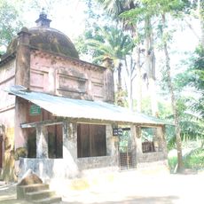
Pirojpur District, Administrative district in Barisal Division, Bangladesh.
Pirojpur is an administrative district in southwestern Bangladesh covering about 1,300 square kilometers (500 square miles). It is divided into seven administrative subdivisions, with Mathbaria being the largest in terms of area.
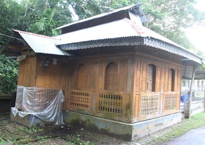
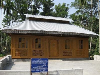
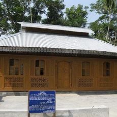
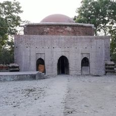
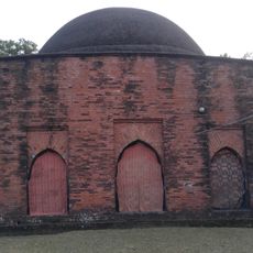
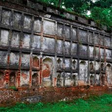
The district's name comes from Firozpur, derived from Firoz Shah, the second son of Subedar Shah Shuja, who died in this region. This historical origin has shaped the area's identity for centuries.
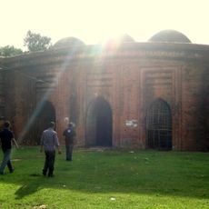
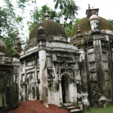
The district maintains 3,177 mosques and 525 temples, reflecting the religious composition of 84.88 percent Muslim and 15.10 percent Hindu populations.
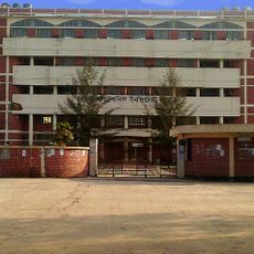
The seven administrative subdivisions are Pirojpur Sadar, Zianagar, Mathbaria, Bhandaria, Kawkhali, Nesarabad, and Nazirpur. Visitors should plan movement between these subdivisions as the area has a rural layout.
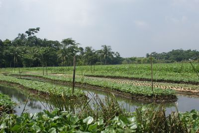
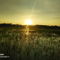
Four major rivers flow through the district: Baleshwari, Swarupkati, Katcha, and Kaliganga. These waterways form the backbone of local agriculture, which is the primary livelihood for most people.
The community of curious travelers
AroundUs brings together thousands of curated places, local tips, and hidden gems, enriched daily by 60,000 contributors worldwide.