Enable Location

We need your location to show you interesting places around you

Discover nearby places

Find interesting locations and hidden gems around you

Precise directions

Get accurate directions and distances to places

Your location is never shared with other users. It's only used when you tap the location button.

Log in to your account

Start exploring — it's free

Trusted by 62,033 travelers worldwide

Continue with Google
Continue with Apple
or

We will send you a code to connect

By continuing, you accept our Terms and Conditions and our Privacy Policy

Check your inbox

We've sent a pincode in your inbox. Please enter the code below.

Shariatpur District, Administrative district in Dhaka Division, Bangladesh.

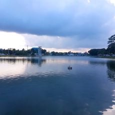
Shariatpur District is an administrative area in central Bangladesh with six subdivisions spread across roughly 1,174 square kilometers. The Padma River forms the eastern boundary while the Meghna cuts through the territory, shaping settlement patterns and daily life throughout the region.

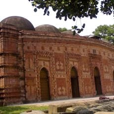
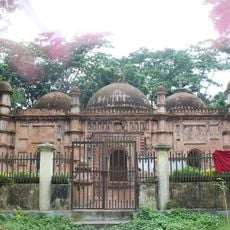
The district came into existence in 1984 as a formal administrative unit during Bangladesh's territorial reorganization. Its name honors Haji Shariatullah, a religious reformer whose movement influenced communities throughout the region during British rule.

People here mark their calendar with local festivals and boat races that center on water and community life. These celebrations bring residents from all parts together and shape the social rhythm of everyday life.

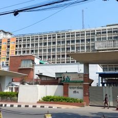
The district has an established network of schools and colleges serving learners of all ages across its territory. Infrastructure and services are concentrated in town centers, especially in the administrative hubs of the six subdivisions.

A substantial portion of residents has settled in Italy over recent decades, building economic connections between the district and Italian cities. These migration patterns have created ongoing money flows and cultural exchange between the two regions.

The community of curious travelers

AroundUs brings together thousands of curated places, local tips, and hidden gems, enriched daily by 60,000 contributors worldwide.

Start exploring
Location
Capital city
Shariatpur
Elevation above the sea
5 m
Shares border with
Munshiganj District, Chandpur District, Barishal District, Madaripur District
GPS coordinates
23.25000,90.36667
Latest update
December 20, 2025 15:48
« Shariatpur District - Administrative district in Dhaka Division, Bangladesh » is provided by Around Us (aroundus.com). Images and texts are derived from Wikimedia project under a Creative Commons license. You are allowed to copy, distribute, and modify copies of this page, under the conditions set by the license, as long as this note is clearly visible.

Discover hidden gems everywhere you go!

From secret cafés to breathtaking viewpoints, skip the crowded tourist spots and find places that match your style. Our app makes it easy with voice search, smart filtering, route optimization, and insider tips from travelers worldwide. Download now for the complete mobile experience.

Around Us App Screenshot

A unique approach to discovering new places

Le Figaro

All the places worth exploring

France Info

A tailor-made excursion in just a few clicks

20 Minutes

Around Us
Travel Guide & Maps
Download

Send to your phone

QR Code
1

Open the camera app on your mobile.

2

Point at the QR code with your camera. A notification will appear.

3

Tap the notification to open the link.