Kaptai Dam, Hydroelectric power station in Kaptai, Bangladesh
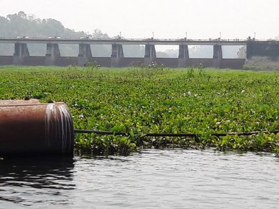
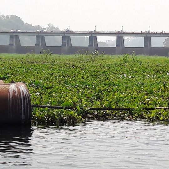
Kaptai Dam is a 670 m long, 45.7 m wide earth-fill embankment dam across the Karnaphuli River at Kaptai, 65 km upstream from Chittagong. Its 16-gate spillway, 227 m long, sits on the left side and can release 16,000 cubic metres per second. The dam holds Kaptai Lake, a reservoir storing 6,477 million cubic metres, and feeds the 230 MW Karnafuli Hydroelectric Power Station.
The first survey of the Karnaphuli for hydropower was made in 1906, followed by another in 1923. Engineers weighed sites at Barkal, Chilardak and Chitmoram before chief irrigation engineer Khwaja Azimuddin fixed the Kaptai site in 1951. Utah International began construction in October 1957 and completed the dam in 1962 under President Muhammad Ayub Khan, with financing from East Pakistan, the United States and the Overseas Economic Cooperation Fund.
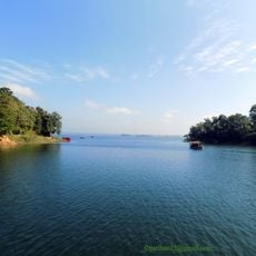
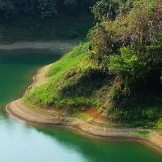
Kaptai Lake, the reservoir behind the dam, drowned the original Rangamati town, and more than 40,000 Chakma left for Arunachal Pradesh in India. The land shortage that followed is cited as a main cause of the continuing conflict in the area.
The dam lies at Kaptai, about 65 km upstream from Chittagong on the Karnaphuli River in Rangamati District. Its crest is 670 m long and 45.7 m wide, carrying a flat roadway lined with vehicles, so the structure is seen from the road rather than walked across on foot. The 16-gate spillway stands on the left side, each gate 12.2 m by 11.5 m, releasing up to 16,000 cubic metres per second.
The dam's reservoir, Kaptai Lake, holds 6,477 million cubic metres of water and flooded 655 km2, including the original Rangamati town. The 16-gate spillway on the left side is 227 m long and can release 16,000 cubic metres per second, with each gate measuring 12.2 m by 11.5 m.
The community of curious travelers
AroundUs brings together thousands of curated places, local tips, and hidden gems, enriched daily by 93,378 contributors worldwide.