Enable Location

We need your location to show you interesting places around you

Discover nearby places

Find interesting locations and hidden gems around you

Precise directions

Get accurate directions and distances to places

Your location is never shared with other users. It's only used when you tap the location button.

Barishal District

Log in to your account

Start exploring — it's free

Trusted by 62,558 travelers worldwide

Continue with Google
Continue with Apple
or

We will send you a code to connect

By continuing, you accept our Terms and Conditions and our Privacy Policy

Check your inbox

We've sent a pincode in your inbox. Please enter the code below.

Barishal District, Administrative district in south-central Bangladesh

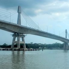
Barishal is an administrative district in south-central Bangladesh characterized by an extensive network of rivers and fertile agricultural lands. It comprises ten administrative subdivisions called upazilas that together form the core of Barisal Division.

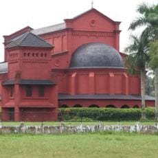
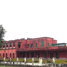
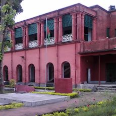
British administrators established the district in 1797 and relocated its headquarters to Barishal in 1801 to strengthen regional governance. This shift positioned it as a significant administrative center for the surrounding territories.

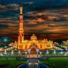
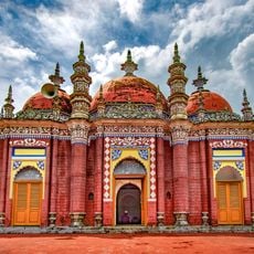
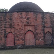
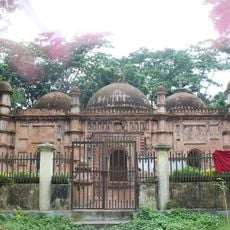
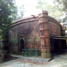
Islam shapes daily life and local traditions throughout the region, visible in mosques that mark the landscape and religious practices that guide community rhythms. The population also includes Hindu communities whose cultural presence adds diversity to local customs and celebrations.

The district is home to several universities and medical colleges that shape education and healthcare access throughout the region. Getting around often involves waterways, as the river network makes boat travel a common way for locals to move between communities.

The extensive river network creates a natural irrigation system that makes it one of the country's major rice-growing centers. This geographical advantage shapes the economy and daily work patterns of communities throughout the region.

The community of curious travelers

AroundUs brings together thousands of curated places, local tips, and hidden gems, enriched daily by 60,000 contributors worldwide.

Start exploring
Location
Capital city
Barishal
Shares border with
Gopalganj District, Madaripur District, Shariatpur District, Chandpur District, Lakshmipur District, Bhola District, Patuakhali District, Barguna District, Jhalokati District, Pirojpur District
Address
R792+P46, উজিরপুর, Bangladesh
GPS coordinates
22.80000,90.37000
Latest update
December 20, 2025 11:35
« Barishal District - Administrative district in south-central Bangladesh » is provided by Around Us (aroundus.com). Images and texts are derived from Wikimedia project under a Creative Commons license. You are allowed to copy, distribute, and modify copies of this page, under the conditions set by the license, as long as this note is clearly visible.

Discover hidden gems everywhere you go!

From secret cafés to breathtaking viewpoints, skip the crowded tourist spots and find places that match your style. Our app makes it easy with voice search, smart filtering, route optimization, and insider tips from travelers worldwide. Download now for the complete mobile experience.

Around Us App Screenshot

A unique approach to discovering new places

Le Figaro

All the places worth exploring

France Info

A tailor-made excursion in just a few clicks

20 Minutes

Around Us
Travel Guide & Maps
Download

Send to your phone

QR Code
1

Open the camera app on your mobile.

2

Point at the QR code with your camera. A notification will appear.

3

Tap the notification to open the link.