Jhalokati District, Administrative district in Barisal Division, Bangladesh.
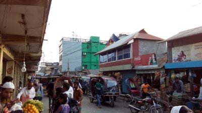
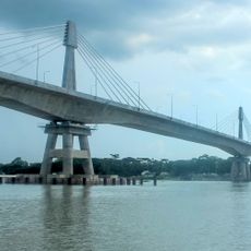
Jhalokati District is an administrative division in Barisal Division covering approximately 758 square kilometers with several major rivers running through its territory. The district divides into four administrative subdivisions—Jhalokati Sadar, Kathalia, Nalchity, and Rajapur—connected by regional roads and waterways that serve as vital transportation routes.
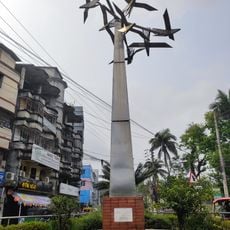
The district was established in 1984, formalizing administrative boundaries in an area with a longer trading and settlement history. During the 1971 Liberation War, the area experienced significant destruction when military forces burned much of the settlement.
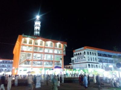
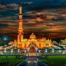
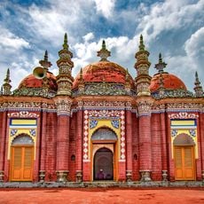
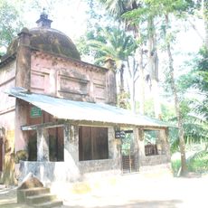
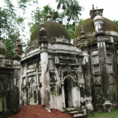
The district maintains 2,475 mosques and multiple Hindu temples, reflecting the religious composition of 90 percent Muslims and 9 percent Hindus.
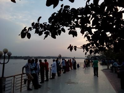
Visitors navigate the area best by understanding its water-dependent geography, as rivers and channels serve as essential transportation routes in daily life. Planning to visit during times when regular water transport services operate smoothly makes traveling between administrative centers easier.
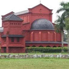
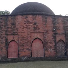
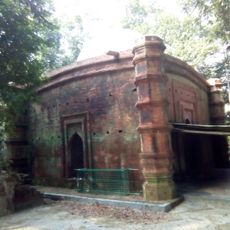
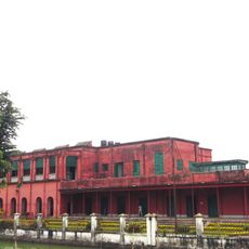
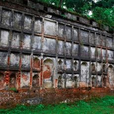
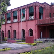
The district once served as a major trading center that attracted European merchants from several nations who established trading posts in the area. These early international commercial connections left traces in local architecture and the built landscape.
The community of curious travelers
AroundUs brings together thousands of curated places, local tips, and hidden gems, enriched daily by 60,000 contributors worldwide.