Enable Location

We need your location to show you interesting places around you

Discover nearby places

Find interesting locations and hidden gems around you

Precise directions

Get accurate directions and distances to places

Your location is never shared with other users. It's only used when you tap the location button.

Bagerhat District

Log in to your account

Start exploring — it's free

Trusted by 62,554 travelers worldwide

Continue with Google
Continue with Apple
or

We will send you a code to connect

By continuing, you accept our Terms and Conditions and our Privacy Policy

Check your inbox

We've sent a pincode in your inbox. Please enter the code below.

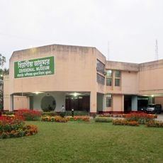
Bagerhat District, Administrative district in Khulna Division, Bangladesh.

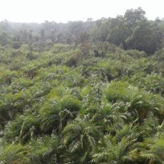
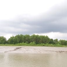
Bagerhat is an administrative district in southwestern Bangladesh within Khulna Division. The landscape consists of low-lying areas crossed by several major rivers that shape local villages and farming patterns.

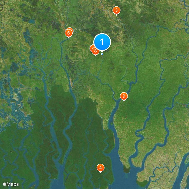
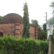
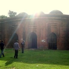
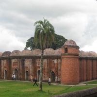
The region was founded in the 15th century under Khan Jahan Ali, who built the city of Khalifatabad and constructed numerous mosques and administrative structures. These early buildings established the religious and administrative character of the area.

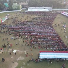
The district contains a population of 1.6 million people following diverse traditions, with Muslims representing 83 percent and Hindus forming a substantial minority community.

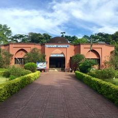
The area is divided into nine administrative subdivisions, with Bagerhat Sadar serving as the main government and commercial hub. The flat terrain and proximity to river systems influence how people move through and access different parts of the district.

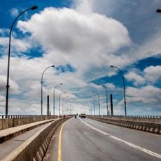
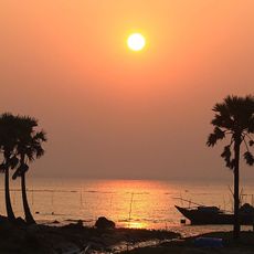
The area sits just meters above sea level and is crisscrossed by major rivers including the Pasur, Madhumati, and Baleshwari. These waterways form the backbone of local fishing and daily life for residents.

The community of curious travelers

AroundUs brings together thousands of curated places, local tips, and hidden gems, enriched daily by 60,000 contributors worldwide.

Start exploring
Location
Inception
1984
Capital city
Bagerhat Sadar Upazila
Elevation above the sea
2 m
Shares border with
Barguna District, Pirojpur District, Gopalganj District, Narail District, Khulna District
GPS coordinates
22.66667,89.80000
Latest update
December 20, 2025 11:24
« Bagerhat District - Administrative district in Khulna Division, Bangladesh » is provided by Around Us (aroundus.com). Images and texts are derived from Wikimedia project under a Creative Commons license. You are allowed to copy, distribute, and modify copies of this page, under the conditions set by the license, as long as this note is clearly visible.

Discover hidden gems everywhere you go!

From secret cafés to breathtaking viewpoints, skip the crowded tourist spots and find places that match your style. Our app makes it easy with voice search, smart filtering, route optimization, and insider tips from travelers worldwide. Download now for the complete mobile experience.

Around Us App Screenshot

A unique approach to discovering new places

Le Figaro

All the places worth exploring

France Info

A tailor-made excursion in just a few clicks

20 Minutes

Around Us
Travel Guide & Maps
Download

Send to your phone

QR Code
1

Open the camera app on your mobile.

2

Point at the QR code with your camera. A notification will appear.

3

Tap the notification to open the link.