Kluisbergen, Administrative municipality in East Flanders, Belgium.
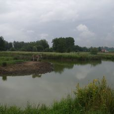
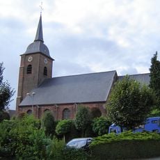
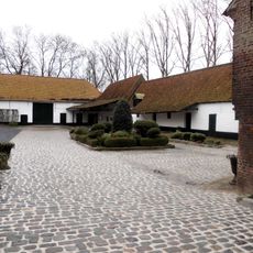
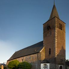
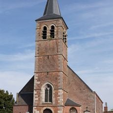
Kluisbergen is an administrative municipality in East Flanders that stretches along the Scheldt river and brings together four distinct town centers: Berchem, Kwaremont, Ruien, and Zulzeke. These communities form an area with different local qualities and individual identities.
The municipality of Kluisbergen was established in 1977 through the merger of several independent communities into a single administrative unit. This consolidation shaped the region's structure as it exists today.
The four town centers of Kluisbergen each have their own character, with Kwaremont standing out for its numerous art galleries and resident artists. Walking through the area, you encounter local creative communities that shape the artistic life of the region.
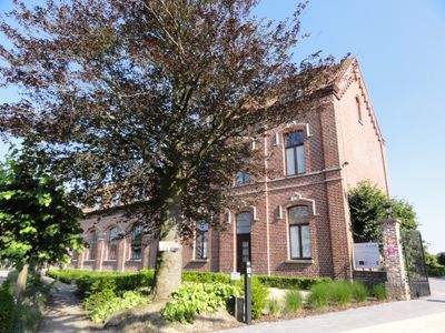
The municipal administration is based at Parklaan 169 and provides residents with services such as appointment scheduling and reporting environmental issues. The location along the Scheldt river and proximity to several town centers make the area relatively easy to explore.
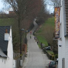
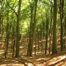
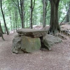
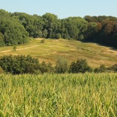
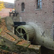
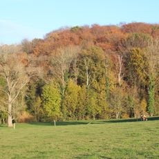
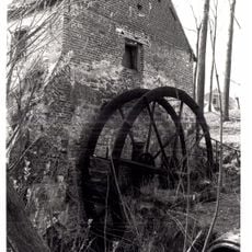
The Kluisbos forest area contains two ancient stone formations from Roman times, which remain as evidence of ancient settlement. The Hotondberg represents the highest point in East Flanders and serves as a distinctive landmark for visitors.
Location: Arrondissement of Oudenaarde
Capital city: Berchem
Elevation above the sea: 29 m
Part of: Emergency zone Flemish Ardennes, Politiezone Vlaamse Ardennen
Shares border with: Wortegem-Petegem, Ronse, Mont-de-l'Enclus
Phone: +3255231610
Email: info@kluisbergen.be
Website: https://kluisbergen.be
GPS coordinates: 50.78874,3.51355
Latest update: December 10, 2025 15:55
Koppenberg
5.2 km
Kasteel Calmont
2.5 km
Domein de Ghellinck
3.3 km
Pont du Waterhoek
3.3 km
Golf & Country Club Oudenaarde
4.5 km
Kasteel Ter Donck
1.9 km
Hotondmolen, Zulzeke
4.9 km
Hotond-Scherpenberg
5.1 km
Paddenbroek
446 m
Kapel van Onze-Lieve-Vrouw van Wittentak
5.7 km
Kasteel Ter Beck
3.8 km
Peetje en Meetje
3.5 km
Beiaardbos, Fonteinbos and Ingelbos
3.9 km
Sint-Mauruskerk
4.3 km
Regionaal Archeologisch Museum van de Schelde
2 km
Nedermolen
4.3 km
Sint-Rochuskerk
3.5 km
Molen Ten Broecke
4.5 km
Kalkovenbos
2.9 km
Sint-Pieterskerk
3.1 km
Molen ten Baete
4.6 km
Sint-Arnolduskerk
3.4 km
Paepscheuremolen
4.5 km
Goed te Corbie
2.9 km
Église Saint-Bavon
5 km
Église Saint-Amand de Russeignies
5.1 km
Watermolen van het Hof ter Planken
2.2 km
Stampkotmolen
3.3 kmVisited this place? Tap the stars to rate it and share your experience / photos with the community! Try now! You can cancel it anytime.
Discover hidden gems everywhere you go!
From secret cafés to breathtaking viewpoints, skip the crowded tourist spots and find places that match your style. Our app makes it easy with voice search, smart filtering, route optimization, and insider tips from travelers worldwide. Download now for the complete mobile experience.
A unique approach to discovering new places❞
— Le Figaro
All the places worth exploring❞
— France Info
A tailor-made excursion in just a few clicks❞
— 20 Minutes