Herstal, Industrial municipality in Liège Province, Belgium
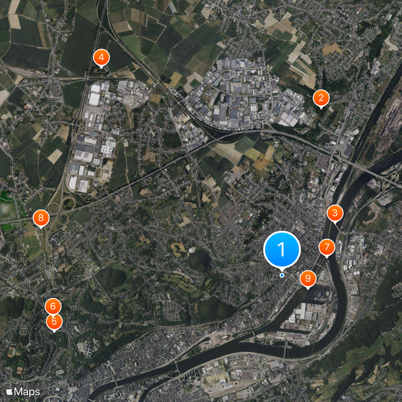
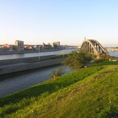
Herstal is a municipality stretching along the Meuse River in the Greater Liège metropolitan area of Belgium, comprising several districts including Liers and Vottem. The town centers on industrial zones where manufacturing plants and metalworking facilities occupy a significant part of the urban landscape.
The settlement dates to the fifth millennium BC and later became significant under Pippin, whose rule established foundations for the Carolingian dynasty that reshaped medieval Europe. This early importance as a power center places Herstal at a turning point in continental history.
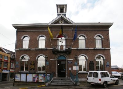
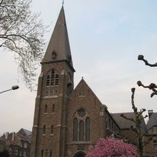
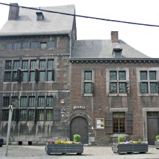
The municipality is deeply connected to its weapons and metalworking heritage, which has shaped daily life and community identity for generations. Walking through Herstal, you notice how this industrial tradition is woven into buildings, local pride, and the way people speak about their town.
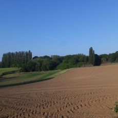
The town is easily accessible by road and located close to Liège, the provincial capital with major transportation hubs and services. Visitors can explore the various districts on foot or by local transport, encountering industrial landmarks and factory grounds throughout the area.
The name comes from Franconian language roots meaning 'army resting place,' reflecting its role as a military settlement centuries ago. Few visitors realize that this modest town carries a name tied directly to its early function as a place where warriors gathered and regrouped.
The community of curious travelers
AroundUs brings together thousands of curated places, local tips, and hidden gems, enriched daily by 60,000 contributors worldwide.