Zottegem, city in East Flanders, Belgium
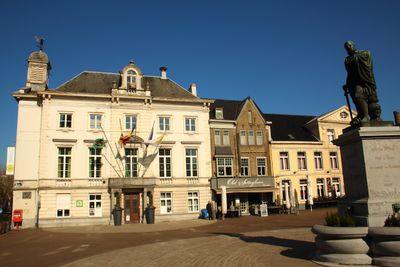
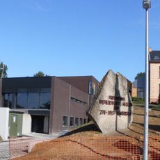
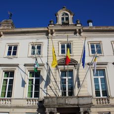
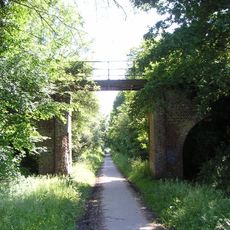
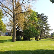
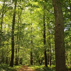
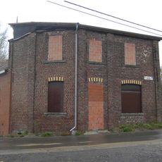
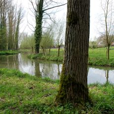
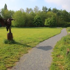
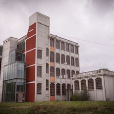
Zottegem is a small city in East Flanders with narrow streets and a mix of older and newer buildings that preserve history while welcoming contemporary life. The town sits near the Flemish Ardennes and is surrounded by rolling hills and countryside, offering walking routes through peaceful landscapes.
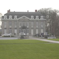
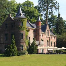
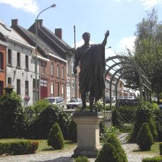
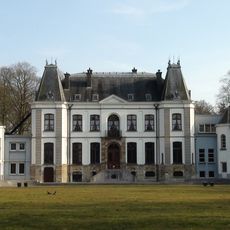
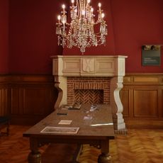
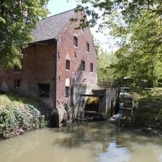
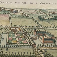
Zottegem grew as a trading and farming center along ancient routes that merchants and farmers used to move goods, shaping the city's practical layout. The area connects to the Egmont family of counts who once ruled the region, leaving architectural marks such as Egmont Castle.
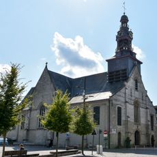
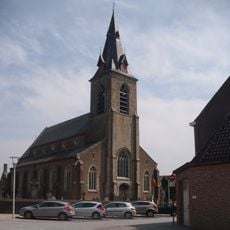
The town's name reflects its regional roots, and locals keep traditions alive through festivals and gatherings that bring the community together. Walking through the narrow streets lined with traditional Flemish houses and stepped gables, you notice how residents engage with their heritage in everyday life.
The town is best explored on foot, with friendly and easy-to-walk streets alongside small, family-run shops and cafes that offer a warm welcome. Access to nearby museums and castles is straightforward, and many visitors benefit from discount cards covering multiple museums across Flanders to learn more affordably.
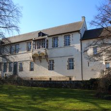
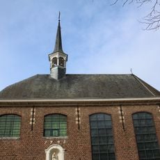
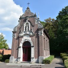
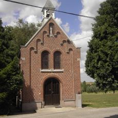
The town houses three specialized museums presenting different aspects of local history: an archaeological museum with ancient tools and pottery, a folklore museum with traditional dress and customs, and a religious museum covering reformed traditions in the region. These institutions offer overlooked insights into the area's past.
The community of curious travelers
AroundUs brings together thousands of curated places, local tips, and hidden gems, enriched daily by 60,000 contributors worldwide.