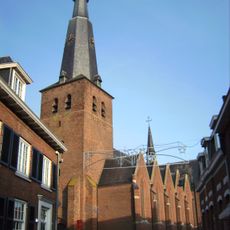
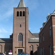
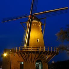
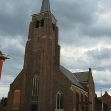
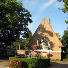
Baarle, Town divided by border in North Brabant, Netherlands and Flanders, Belgium.
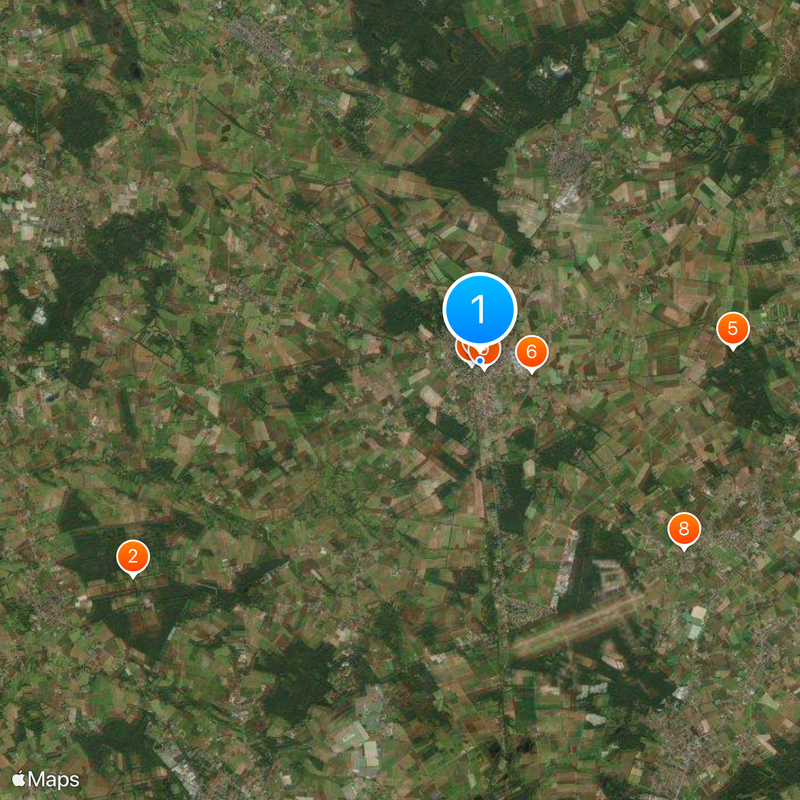
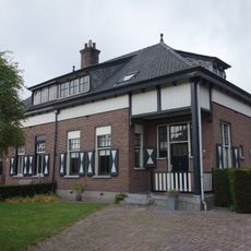
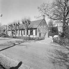
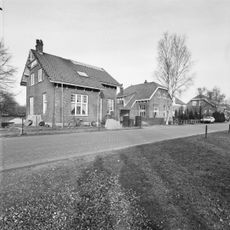
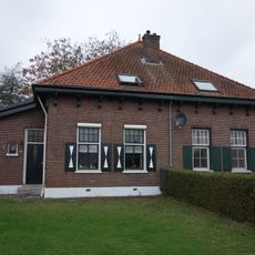
Baarle is a town with 22 Belgian enclaves scattered within Dutch territory, with the Belgian sections called Baarle-Hertog and the Dutch parts known as Baarle-Nassau. The layout forms a complex mosaic of properties shaped by medieval land agreements between ruling powers.
The unusual border arrangement developed from medieval agreements between the Lords of Breda and the Dukes of Brabant who divided smaller land parcels between them. The 1843 Treaty of Maastricht officially confirmed this split and made it permanent.
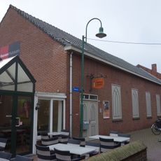
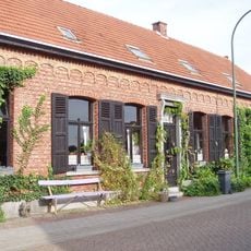
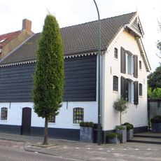
Residents move freely between two nations for daily tasks, shopping at stores and attending schools based on convenience rather than borders. This mixing creates a distinctive shared identity where people live comfortably across administrative lines.
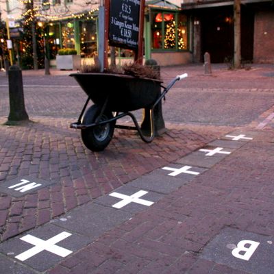
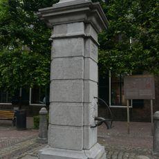
Iron pins and markers on streets show the exact border location, while house numbers display different styles for Belgian and Dutch properties. Visitors should be aware that shops, cafes, and services operate under different rules depending on which side they occupy.
During World War I, the Belgian enclaves served as communication posts for resistance forces because German troops could not access them without crossing neutral Dutch territory. This geographic oddity made the location valuable for clandestine operations.
The community of curious travelers
AroundUs brings together thousands of curated places, local tips, and hidden gems, enriched daily by 60,000 contributors worldwide.