Damme, municipality in West Flanders, Belgium
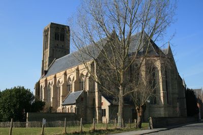
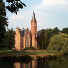
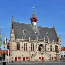
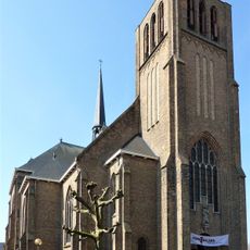
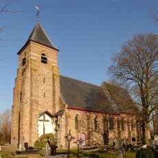
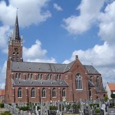
Damme is a small town in Belgium near Bruges, surrounded by a star-shaped network of canals and waterways. It features cobblestone streets, rows of poplar trees along the water, and buildings from the 15th century, including a Gothic-style town hall and a church with a tower over 130 feet (40 meters) high.
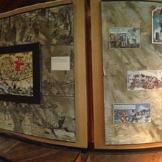
Damme served as a major port in the 13th century, moving goods between Bruges and other regions by water. Over time, silt filled the harbor and the port declined, transforming the town from a trading hub into a rural settlement while keeping its medieval buildings and layout intact.
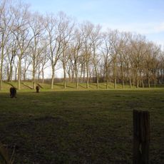
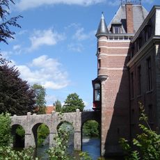
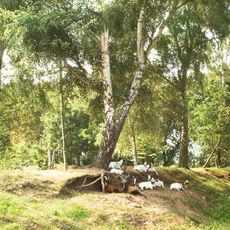
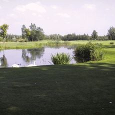
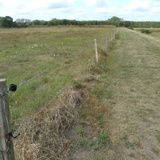
The name Damme refers to water structures and dikes that shaped the town's relationship with water over centuries. Today, visitors experience how the waterways and surrounding fields remain central to how people move through and spend time in this place.
Damme is easy to reach by bike from Bruges in about 20 minutes or by bus from the nearby train station. The town has wide, flat paths accessible for people with mobility needs, including lifts in some buildings and rental shops for bicycles nearby.
Inside the town hall sits one of the world's smallest bookshops, open only on weekends, inviting visitors to browse a tiny collection in a charming space. Nearby, a famous candy shop claims the title of Belgium's smallest sweet shop and operates during summer months.
The community of curious travelers
AroundUs brings together thousands of curated places, local tips, and hidden gems, enriched daily by 60,000 contributors worldwide.