Ninove, Municipality in East Flanders, Belgium
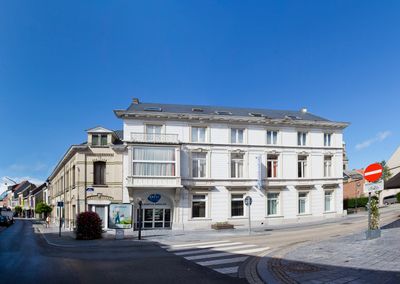
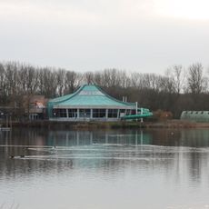
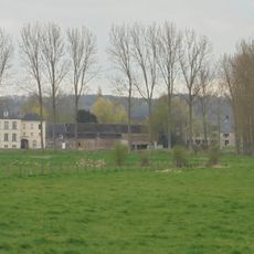
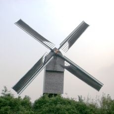
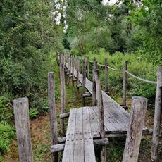
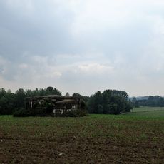
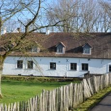
Ninove is a city in East Flanders that runs along the Dender River, containing both urban neighborhoods and surrounding countryside. The municipality blends built-up areas with open green spaces and rural farmland across its entire territory.
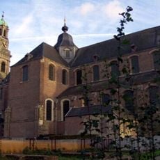
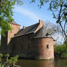
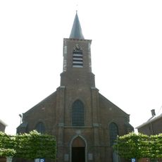
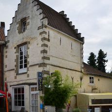
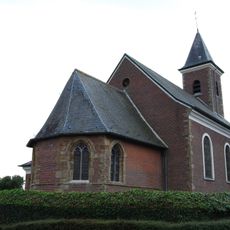
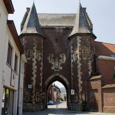
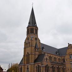
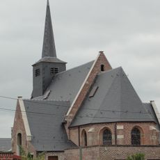
The settlement began in Roman times and evolved from the name Neonifus in the 9th century into a fortified town along trade routes. Monks established an abbey in 1137 that became a major force in the region's economic and cultural growth.
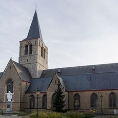
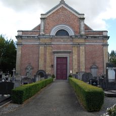
The Abbey of Saints Cornelius and Cyprian anchors the community's identity through its monumental presence and long-standing role in civic life. You can see how this religious landmark continues to shape how people relate to their surroundings.
The city sits strategically between Brussels, Ghent, and Antwerp with reliable train and bus connections to each major center. Spring and autumn offer the most comfortable visiting conditions, with pleasant weather and smaller crowds.
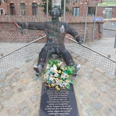
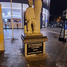
Residents earned the nickname 'Wortelmannen' from a local legend about using a carrot to secure the city gate during a medieval siege. This playful story reveals something about the resourcefulness and humor of the people who live here.
Location: Arrondissement of Aalst
Inception: January 1, 1977
Capital city: Ninove
Elevation above the sea: 14 m
Operator: Stad Ninove
Part of: Police zone Ninove, Emergency zone East Flanders South East
Shares border with: Haaltert, Galmaarden, Geraardsbergen, Herzele, Denderleeuw, Liedekerke, Roosdaal, Gooik
Phone: +3254505050
Email: stadsbestuur@ninove.be
Website: https://ninove.be
GPS coordinates: 50.83333,4.01667
Latest update: December 20, 2025 12:48
De Gavers
8.3 km
Onze-Lieve-Vrouw-Hemelvaartkerk
585 m
Kasteel van Heetvelde
6.1 km
Brouwerij Slaghmuylder
951 m
Sint-Ursmaruskerk
7.5 km
Huis Doremont
533 m
Cistercian Abbey of Beaupré
7.2 km
Dingsken
755 m
't Wortelmanneken
335 m
Sint-Amanduskerk
6.5 km
Koepoort, Ninove
724 mZandbergen railway station
5.1 km
Sint-Gaugericuskerk
4.3 km
Buysesmolen, Herzele
6.3 km
Sint-Amanduskerk
4.3 km
De Nuchten
6 km
Bunker Ni6
2.8 km
Bunker 8
3 km
Bunker 9
3.2 km
Sint-Martinuskerk
2 kmOkegem railway station
3.7 km
Beeld van de Dikke van Pamel
3.5 km
Terhagenmolen, Gooik
5.4 km
Bunker 7
2.6 km
Begijnebrug
528 m
Sint-Gertrudiskerk
6.7 km
Ter Zeven Wegen, Denderwindeke
4.1 km
Sint-Pieterskerk
3.9 kmVisited this place? Tap the stars to rate it and share your experience / photos with the community! Try now! You can cancel it anytime.
Discover hidden gems everywhere you go!
From secret cafés to breathtaking viewpoints, skip the crowded tourist spots and find places that match your style. Our app makes it easy with voice search, smart filtering, route optimization, and insider tips from travelers worldwide. Download now for the complete mobile experience.
A unique approach to discovering new places❞
— Le Figaro
All the places worth exploring❞
— France Info
A tailor-made excursion in just a few clicks❞
— 20 Minutes