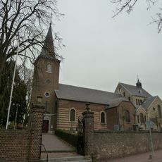
Geul, River and brook system across eastern Belgium and southern Netherlands.
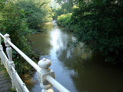
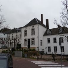
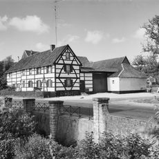
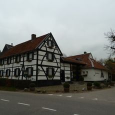
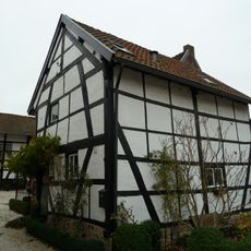
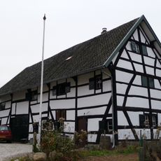
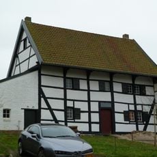
The Geul is a river flowing approximately 58 kilometers from Lichtenbusch in Belgium to Meerssen in the Netherlands, passing through limestone formations. It winds through nine municipalities across both countries, creating an important feature of the landscape in this border region.
The river was long shaped by mining operations near Kelmis and Plombières, where zinc and lead were extracted. These activities left traces of heavy metals in the water until the early twentieth century.
The river carries different names across the regions it flows through, called Göhl in German-speaking Belgium, Gueule in French-speaking areas, and Geul in Dutch territories. These name variations reflect the cultural diversity that marks this border region.
The best time to visit is during drier months when water levels are low and banks are easily accessible. Several walking trails follow the river, connecting both Belgian and Dutch towns throughout the region.
Yellow calamine violet plants grow along former railway tracks near the river, having adapted to soil conditions affected by past mining activities. These particular plants are a fascinating example of nature adapting to harsh conditions.
The community of curious travelers
AroundUs brings together thousands of curated places, local tips, and hidden gems, enriched daily by 60,000 contributors worldwide.