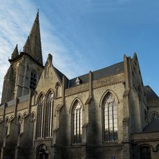
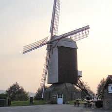
Poperinge, municipality in West Flanders, Belgium
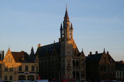
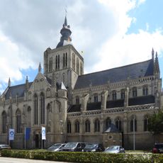
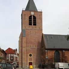
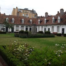
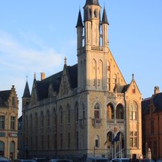
Poperinge is a Belgian city in the Ypres region known for its hop fields and brewing heritage. The town center, marked by a well-preserved city hall, serves as the starting point for visiting nearby military cemeteries, museums dedicated to hops and beer, and cycling routes through the surrounding countryside.
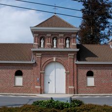
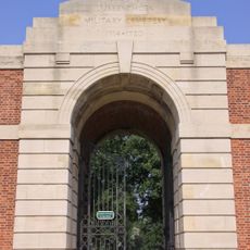
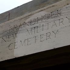
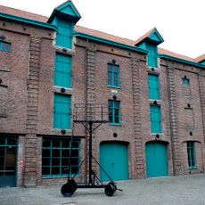
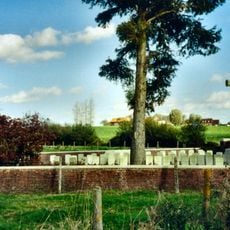
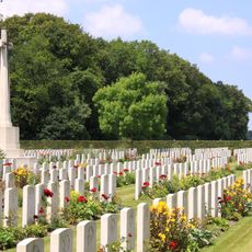
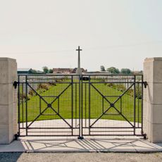
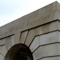
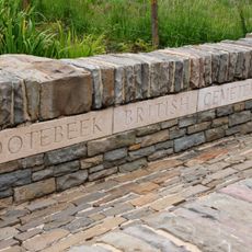
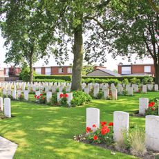
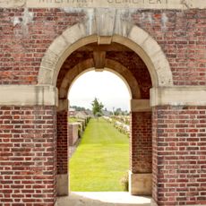
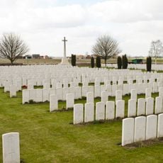
This place served as a key supply hub behind the front lines near Ypres during World War I and endured repeated German bombardments. Talbot House, founded in 1915 as a rest club for British soldiers, now operates as a museum, while the nearby Lijssenthoek Military Cemetery holds over 10,000 war casualties.
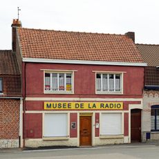
Hops shape the identity of this place and remain central to daily life. The town takes pride in its brewing heritage, with shops and cafes throughout serving regional beers and dishes made with local ingredients.
The town center is small enough to explore on foot or by bike. Well-marked routes connect the main area to nearby cemeteries, museums, and countryside paths where you can travel at your own pace.
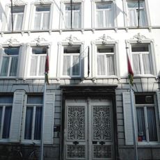
Talbot House preserves the rare interior of a World War I soldiers' rest club and offers overnight stays in restored rooms, allowing visitors to experience the space as soldiers once did. The adjacent visitor center explains the field hospital system that operated in the area.
The community of curious travelers
AroundUs brings together thousands of curated places, local tips, and hidden gems, enriched daily by 60,000 contributors worldwide.