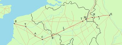
Via Belgica, Roman road from Bavay to Cologne, Hainaut and North Rhine-Westphalia.
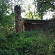
Via Belgica is an ancient Roman road extending approximately 235 kilometers through present-day Belgium and Germany, connecting Bavay to Cologne. The route traverses varied terrain and shows visible remains in sections, with original construction layers still detectable in archaeological studies.
The road was constructed between 19 and 15 BCE as one of seven major transportation routes radiating from the Roman administrative center at Bavay. It served trade and military movements for centuries, connecting distant parts of the empire.
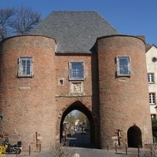
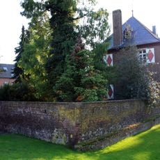
The road became known as Chaussée Brunehaut in medieval times and remained central to regional trade routes for centuries. Local communities built their settlements and markets along this corridor, making it a living part of the landscape rather than just a historical artifact.
Visitors can explore sections of the ancient route today through dedicated cycling and walking paths that follow the original Roman trajectory. Comfortable footwear is recommended, and checking which segments are best preserved and most accessible will help plan your visit.
The road appears in two key Roman documents called the Peutinger Table and Antonine Itineraries, which recorded the empire's transportation network. These references reveal its importance as a major connection linking distant regions of the ancient world.
The community of curious travelers
AroundUs brings together thousands of curated places, local tips, and hidden gems, enriched daily by 60,000 contributors worldwide.