Enable Location

We need your location to show you interesting places around you

Discover nearby places

Find interesting locations and hidden gems around you

Precise directions

Get accurate directions and distances to places

Your location is never shared with other users. It's only used when you tap the location button.

Mont Noir

Log in to your account

Start exploring — it's free

Trusted by 63,178 travelers worldwide

Continue with Google
Continue with Apple
or

We will send you a code to connect

By continuing, you accept our Terms and Conditions and our Privacy Policy

Check your inbox

We've sent a pincode in your inbox. Please enter the code below.

Mont Noir
Discussion Reviews 1 Photos
10.9k Popularity

Mont Noir, Border mountain between Saint-Jans-Cappel, Boeschepe and Westouter, France and Belgium

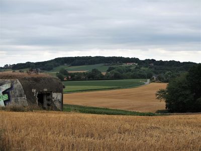
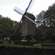
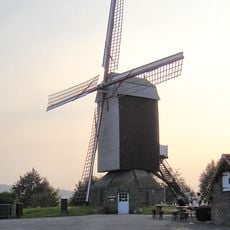
Mont Noir is a hill standing 152 m (500 ft) above sea level on the border between France and Belgium, covered with extensive black pine forests on its slopes. From the summit, views spread across the surrounding flatlands and villages on both sides of the frontier.

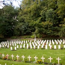
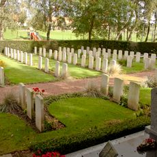
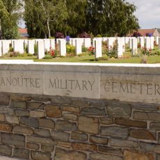
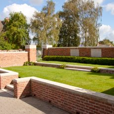
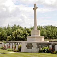
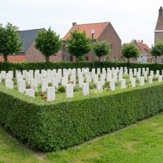
The hill served as a key observation post during past military conflicts in the region. A cemetery near its base remains today as a reminder of those who were stationed there during wartime.

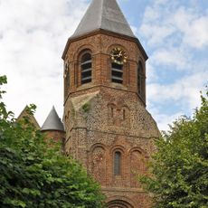
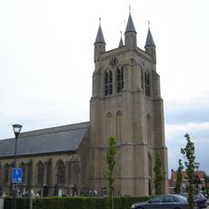
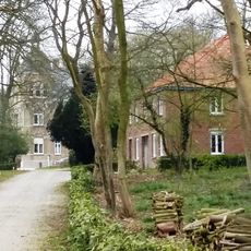
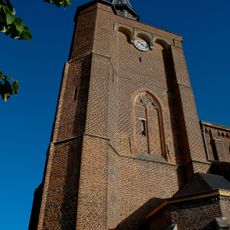
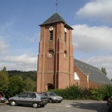
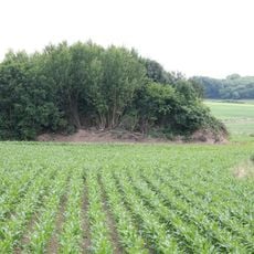
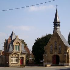
The mountain sits where French and Belgian cultures meet, visible in how local buildings are built and how farmers work the surrounding land. People here follow traditions shaped by influences from both sides of the border.

Marked trails from the Chemin des Anglais and other starting points on both sides of the border lead to the summit. Most paths are easy to walk, especially on clear days when the views are most rewarding.

The rock formation dates back to the Eocene period, making it older than most other hills in the area. It is also one of the few places where you can actually walk between two countries while seeing the same landscape spread before you.

The community of curious travelers

AroundUs brings together thousands of curated places, local tips, and hidden gems, enriched daily by 60,000 contributors worldwide.

Start exploring
Location
Elevation above the sea
152 m
Made from material
sedimentary rock
GPS coordinates
50.77888,2.73288
Latest update
December 8, 2025 13:44
Reviews
Share your experience

No review yet

Discussions
Start a discussion...

No discussion yet

« Mont Noir - Border mountain between Saint-Jans-Cappel, Boeschepe and Westouter, France and Belgium » is provided by Around Us (aroundus.com). Images and texts are derived from Wikimedia project under a Creative Commons license. You are allowed to copy, distribute, and modify copies of this page, under the conditions set by the license, as long as this note is clearly visible.

Discover hidden gems everywhere you go!

From secret cafés to breathtaking viewpoints, skip the crowded tourist spots and find places that match your style. Our app makes it easy with voice search, smart filtering, route optimization, and insider tips from travelers worldwide. Download now for the complete mobile experience.

Around Us App Screenshot

A unique approach to discovering new places

Le Figaro

All the places worth exploring

France Info

A tailor-made excursion in just a few clicks

20 Minutes

Around Us
Travel Guide & Maps
Download

Send to your phone

QR Code
1

Open the camera app on your mobile.

2

Point at the QR code with your camera. A notification will appear.

3

Tap the notification to open the link.