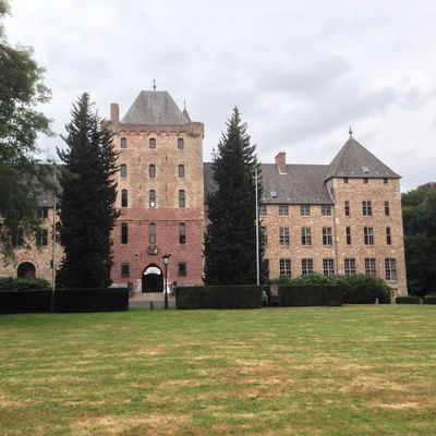
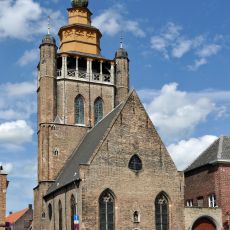
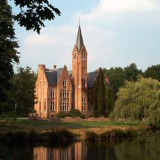
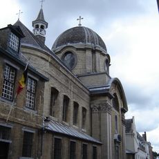
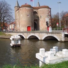
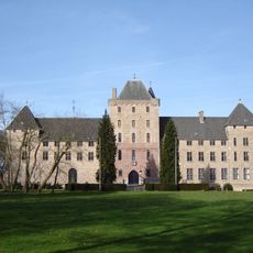
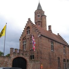
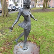
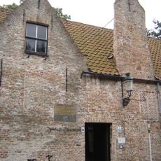
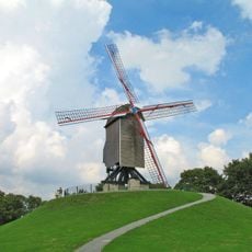
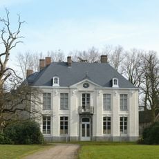
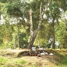
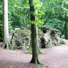
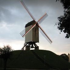
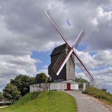
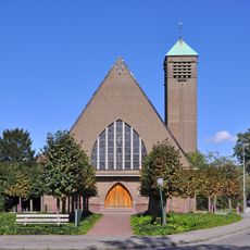
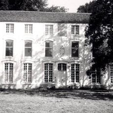
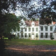
Sint-Kruis, section of Brugge, Belgium
Location: Bruges
Elevation above the sea: 7.58 m
GPS coordinates: 51.21390,3.25030
Latest update: May 27, 2025 17:40
Jeruzalemkerk
1.1 km
Male Castle
2.7 km
Ryckevelde
3.5 km
Fort van Beieren
2.7 km
Engels Klooster
1.1 km
Gentpoort
1.7 km
St. Trudo's Abbey
2.7 km
Royal Guild of Saint-Sebastian in Bruges
981 m
Marieke
1.3 km
Gezellehuis
891 m
Sint-Janshuismolen
871 m
Kasteel Rooigem
1.1 km
Schobbejakshoogte
2.9 km
Kasteel Veltem
937 m
Bonne Chiere, Bruges
787 m
Koeleweimolen
1.3 km
Kruispoortbruggen
716 m
Kasteel De Spijker
1.9 km
Heilige Familiekerk
1.2 km
Heilige-Kruisverheffing-en-Sint-Jozefkerk
30 m
Sint-Jozef en Sint-Christoffelkerk
1.2 km
Gemene-Weidebeek
2 km
Kasteel Les Fayards
3 km
Sint-Franciscus van Assisiëkerk
927 m
Onze-Lieve-Vrouw-Geboorte en Sint-Philippuskerk
4.5 km
Kasteel Nieuwenhove
1.5 km
Kasteel Warren
548 m
Sint-Thomas van Kantelbergkerk
2.2 kmReviews
Visited this place? Tap the stars to rate it and share your experience / photos with the community! Try now! You can cancel it anytime.
Discover hidden gems everywhere you go!
From secret cafés to breathtaking viewpoints, skip the crowded tourist spots and find places that match your style. Our app makes it easy with voice search, smart filtering, route optimization, and insider tips from travelers worldwide. Download now for the complete mobile experience.
A unique approach to discovering new places❞
— Le Figaro
All the places worth exploring❞
— France Info
A tailor-made excursion in just a few clicks❞
— 20 Minutes