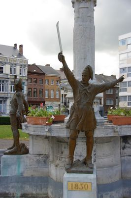
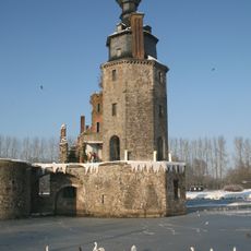
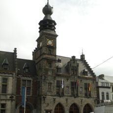
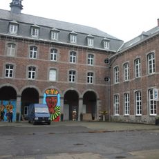
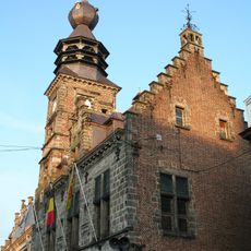
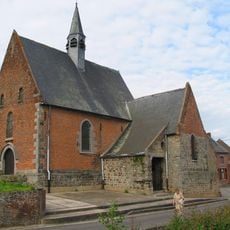
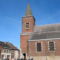
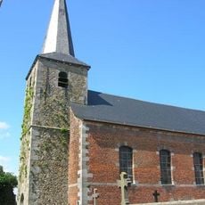
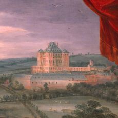
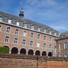
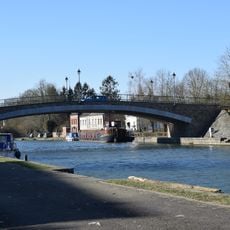
Binche, municipality section and town in Binche municipality, Belgium
Location: Binche
Elevation above the sea: 88 m
Shares border with: Péronnes-lez-Binche, Ressaix, Épinois, Buvrinnes, Waudrez
GPS coordinates: 50.41030,4.16516
Latest update: May 27, 2025 18:20
Lifts on the old Canal du Centre
8.4 km
Canal du Centre
8.5 km
Domaine de Mariemont
8.3 km
Bois-du-Luc
6.8 km
Pont-canal du Sart
9.5 km
Musée de Mariemont
8 km
Saint-Ursmer Collegiate Church
10.1 km
Lobbes Abbey
9.8 km
Havré Castle
10.8 km
Louve
7.6 km
Stade du Tivoli
8 km
Point d'eau
7.4 km
Town Hall of Binche
47 m
Château de Beaulieu
8.2 km
City walls of Binche
210 m
Église collégiale Saint-Ursmer
142 m
Triage-Lavoir de Péronnes
2 km
Église de Saint-Vaast
4.7 km
International Carnival and Mask Museum
106 m
Belfry of Binche
53 m
Chapelle Notre-Dame de Cambron
4.6 km
Église Saint-Germain de Chapelle-lez-Herlaimont
10.8 km
Réserve naturelle de l'entité du Roeulx
9.8 km
Église Notre-Dame-à-la-Croix de Croix-lez-Rouveroy
8.5 km
Mariemont, the Castle of Charles of Lorraine
7.7 km
Former Augustinian college
122 m
Lobbes Bridge
10.2 km
Necropolis of Heuleu
10.2 kmReviews
Visited this place? Tap the stars to rate it and share your experience / photos with the community! Try now! You can cancel it anytime.
Discover hidden gems everywhere you go!
From secret cafés to breathtaking viewpoints, skip the crowded tourist spots and find places that match your style. Our app makes it easy with voice search, smart filtering, route optimization, and insider tips from travelers worldwide. Download now for the complete mobile experience.
A unique approach to discovering new places❞
— Le Figaro
All the places worth exploring❞
— France Info
A tailor-made excursion in just a few clicks❞
— 20 Minutes