
Chemin d'Odont, footpath in Woluwe-Saint-Lambert, Belgium
Location: Woluwe-Saint-Lambert - Sint-Lambrechts-Woluwe
GPS coordinates: 50.85270,4.45030
Latest update: June 4, 2025 04:07
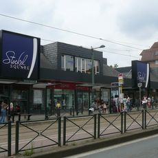
Stockel - Stokkel
1.8 km
Château Malou
1.5 km
Kapelleveld
612 m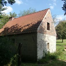
Hof ter Musschen
278 m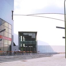
Wolubilis
1 km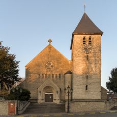
Church of Saint Lambert
1.7 km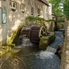
Moulin Lindekemale
1.2 km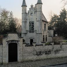
't Hof van Brussel
1.8 km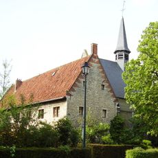
Chapel of Marie la Misérable
929 m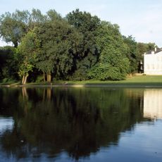
Malou Park
1.4 km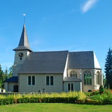
St. Pancras Church
1.6 km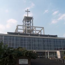
Église Notre-Dame de Stockel
1.5 km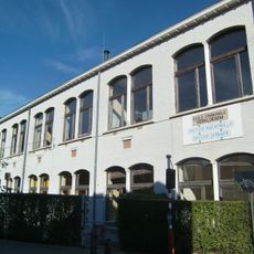
Building of the École Vervloesem
1.7 km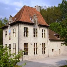
The Slot
1.1 km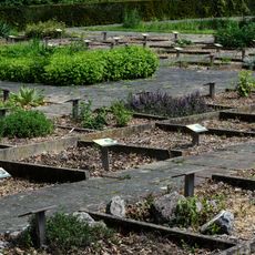
Tuin van Geneeskrachtige planten
339 m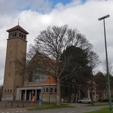
Our Lady of the Assumption Church
523 m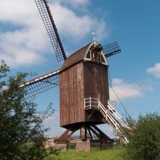
Burnt Mill
231 m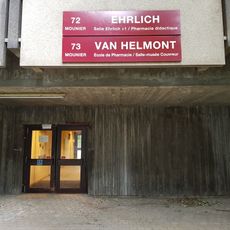
Albert Couvreur Pharmaceutical Museum
391 m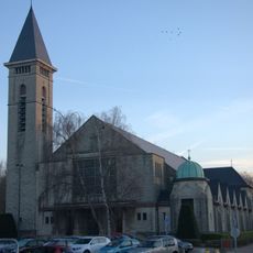
Heilige-Familiekerk
1.6 km
Passerelle de la Chaussée de Stockel - Passerelle Stokkelsesteenweg
1.4 km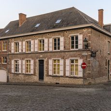
Ancienne maison communale Woluwe-Saint-Lambert
1.8 km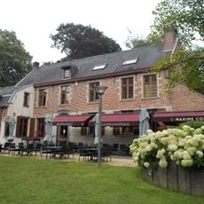
Oude Pastorie
1.7 km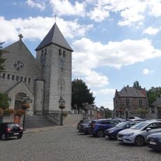
Place du Sacré-Cœur - Heilig-Hartplein
1.8 km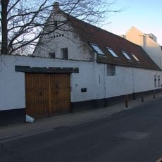
Hof ter Cauwerschueren
1.5 km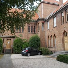
Salesian Monastery
527 m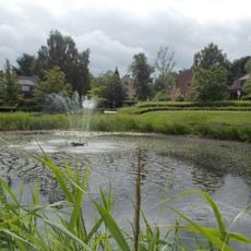
Eclair Park
1.4 km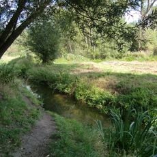
Site du chemin du Vellemolen
701 m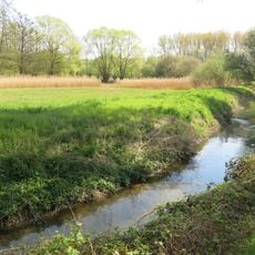
Hof ter Musschen Park
325 mReviews
Visited this place? Tap the stars to rate it and share your experience / photos with the community! Try now! You can cancel it anytime.
Discover hidden gems everywhere you go!
From secret cafés to breathtaking viewpoints, skip the crowded tourist spots and find places that match your style. Our app makes it easy with voice search, smart filtering, route optimization, and insider tips from travelers worldwide. Download now for the complete mobile experience.

A unique approach to discovering new places❞
— Le Figaro
All the places worth exploring❞
— France Info
A tailor-made excursion in just a few clicks❞
— 20 Minutes