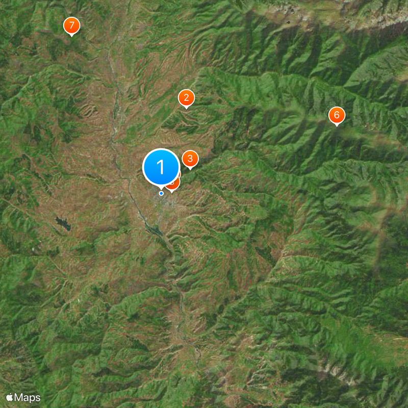
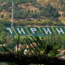
Blagoevgrad, Administrative center in southwestern Bulgaria
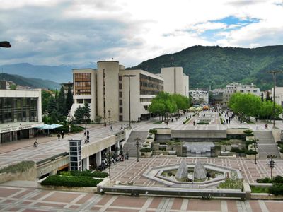
Blagoevgrad is a city in southwestern Bulgaria located in the Struma River valley at about 360 meters elevation, surrounded by the Rila and Vlahina mountain ranges. The city spreads across the valley floor with modern buildings, parks, and roads connecting different neighborhoods.
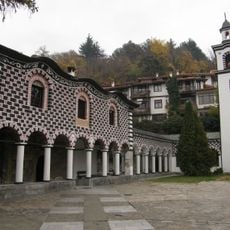
The city traces its roots to the ancient settlement of Scaptopara from Hellenistic times around 300 BC and was later incorporated into the Roman Empire in 48 AD due to its valuable mineral springs. This ancient heritage shaped the site as an important trade and resource center in the region.
The Francofolies Music Festival draws Bulgarian and international artists to the city, turning it into a hub for musical performances and cultural exchange. During festival season, visitors encounter live concerts and shows taking place across different venues throughout the city.
The city is easily accessible via the European road E-79, which offers direct connections to North Macedonia and Greece for smooth travel between countries. Visitors can use the flat terrain of the valley to walk around the city and reach different areas conveniently.
The city is home to two independent universities, the American University and the South-West University, making it the only city outside Sofia with this dual presence in Bulgaria. This concentration of higher education institutions attracts students from across the region and shapes daily life with student-centered activities.
The community of curious travelers
AroundUs brings together thousands of curated places, local tips, and hidden gems, enriched daily by 60,000 contributors worldwide.