Radomir, town in Bulgaria
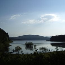
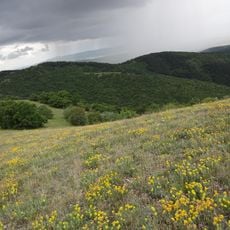
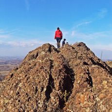
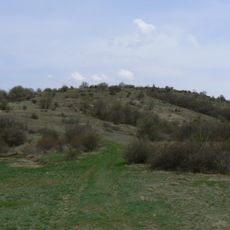
Radomir is a town in western Bulgaria built on a site with a medieval history that reaches back to prehistoric times. It sits at about 760 feet (230 meters) elevation in a valley at the foot of high mountain slopes surrounded by green horizons.
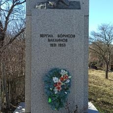
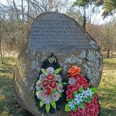
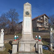
The town developed from a prehistoric settlement and gained strategic importance in the medieval period for protecting the region. During Ottoman rule, residents led revolts, most notably in 1418 against heavy taxes, though these were quickly suppressed by authorities.
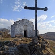
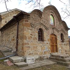
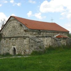
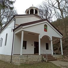
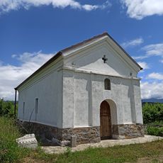
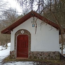
St. Dimitar Church serves as the spiritual heart of the town, where residents gather regularly for services and traditional Orthodox celebrations that shape community life. Local faith practices and customs connect people across generations and define the town's identity.
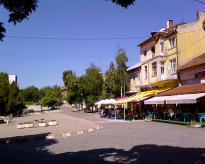
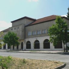
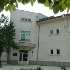
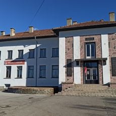
The town sits at elevation in a valley near Pernik and offers visitors parks for walking, a central square for gathering, several hotels and restaurants serving local food, plus museums and churches to explore. The surrounding mountain slopes provide opportunities for short nature walks outside the town center.
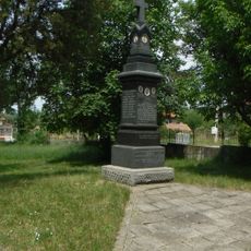
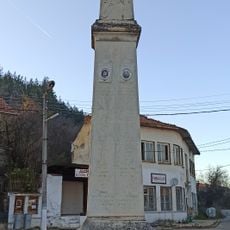
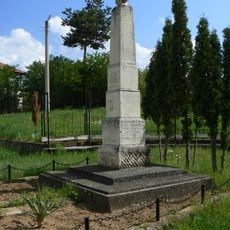
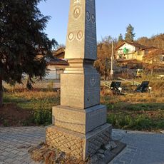
On September 27, 1918, an uprising took place here where Bulgaria was proclaimed a republic for the first time. The town is also known for traditional woodcarving craftsmanship that became famous through local masters working throughout the region.
The community of curious travelers
AroundUs brings together thousands of curated places, local tips, and hidden gems, enriched daily by 60,000 contributors worldwide.