
Zgorigrad, village of Bulgaria
Location: Vratsa Municipality
Elevation above the sea: 678 m
GPS coordinates: 43.18009,23.51693
Latest update: March 10, 2025 20:02

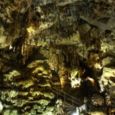
Ledenika Cave
3.3 km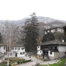
Cherepish Monastery
12.5 km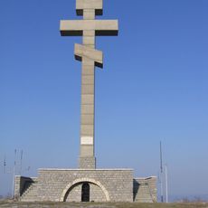
Okolchitsa
6.1 km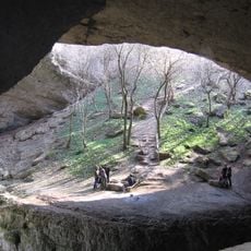
God's Bridge
15.3 km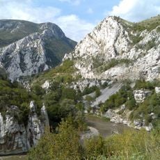
Iskar Gorge
20.2 km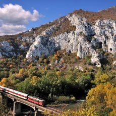
Vrachanski Balkan Nature Park
2.9 km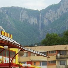
Vrachanska skaklya
2.7 km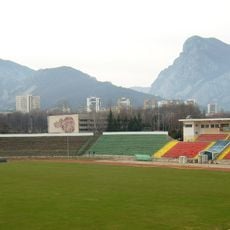
Hristo Botev Stadium
4.7 km
Lakatnishki Skali
14.7 km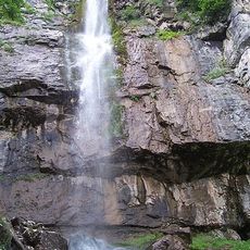
Borov Kamak
3.3 km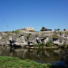
Mezdra Fortress
15.8 km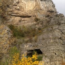
Temnata dupka, Gara Lakatnik
14.7 km
Mogilanska mound
3.6 km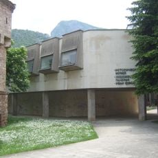
Vratsa History Museum
3.4 km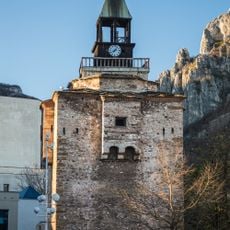
Clock Tower of Vratsa
3.5 km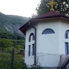
Bistrets Monastery
3.5 km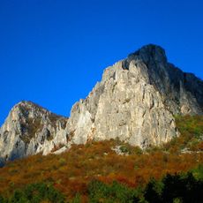
Vrachanski Karst
2.9 km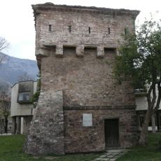
Tower of Kurt Pasha
3.4 km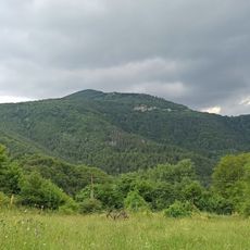
Izdremets
20 km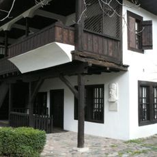
Ethnographic complex "Saint Sophronius of Vratsa"
3.7 km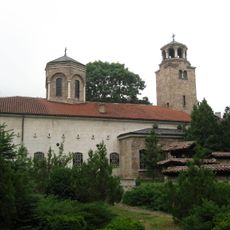
Church of the Ascension, Vratsa
3.7 km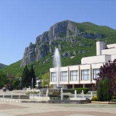
Dramatichno-kuklen Teatr
3.4 km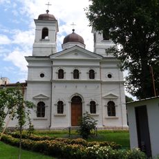
Saints Constantine and Helena church
3.3 km
Художествена галерия „Иван Фунев“ (Враца)
3.4 km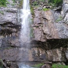
Боров камък
2.9 km
Bov Waterfall
20.1 km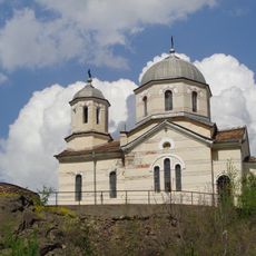
Holy Prophet Elisha
11.7 km
Krasová vyvěračka Žitoľub
14.7 kmReviews
Visited this place? Tap the stars to rate it and share your experience / photos with the community! Try now! You can cancel it anytime.
Discover hidden gems everywhere you go!
From secret cafés to breathtaking viewpoints, skip the crowded tourist spots and find places that match your style. Our app makes it easy with voice search, smart filtering, route optimization, and insider tips from travelers worldwide. Download now for the complete mobile experience.

A unique approach to discovering new places❞
— Le Figaro
All the places worth exploring❞
— France Info
A tailor-made excursion in just a few clicks❞
— 20 Minutes