
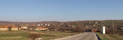
Balgarska polyana, village in Bulgaria
Location: Topolovgrad Municipality
Elevation above the sea: 450 m
GPS coordinates: 42.02927,26.19789
Latest update: March 7, 2025 01:15
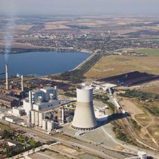
Maritsa Iztok Complex
27.5 km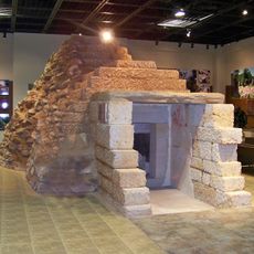
Thracian tomb of Aleksandrovo kurgan
38.4 km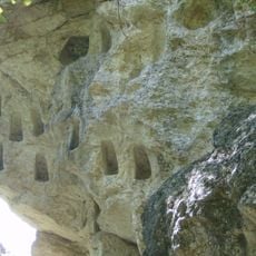
Gluhite kamani
39.1 km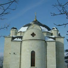
Church of the Assumption
45.5 km
Thracian tomb near Mezek
33.7 km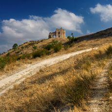
Bukelon Fortress
34.9 km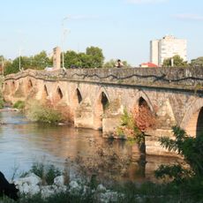
Old Bridge
29 km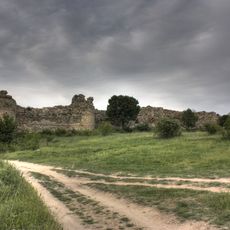
Mezek Fortress
33.9 km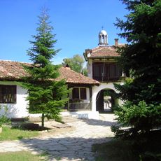
Ustrem Monastery
19.3 km
Wiszegrad (szczyt)
9.8 km
Scheynovets
37.6 km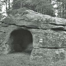
Hlyabovo dolmens
4.9 km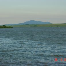
Ovcharitsa Reservoir
25.1 km
Dolna Topchia
35.8 km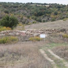
Castris Rubris
13.9 km
Protected area of Zlatopole
39.9 km
Elhovo Ethnographic museum
34.3 km
Rozov Kladenets
27.5 km
Saint Panteleimon Church, Mihalich
27.4 km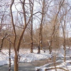
Balabana
31.2 km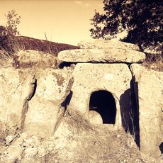
Царският долмен
4.5 km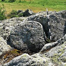
Rock sanctuary near Melnitsa
30.6 km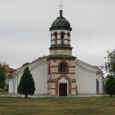
Свети Георги (Любенова махала)
40.7 km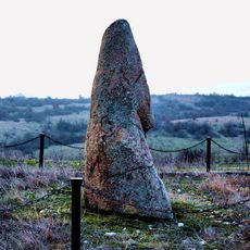
Чучул камък
16.7 km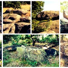
Големият кайряк
2.7 km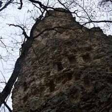
Кралимарков камък
37.5 km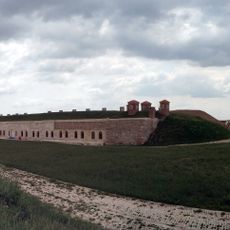
Hıdırlık Redoubt
46.5 km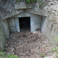
Thracian tomb near Sheinovets peak
37.6 kmReviews
Visited this place? Tap the stars to rate it and share your experience / photos with the community! Try now! You can cancel it anytime.
Discover hidden gems everywhere you go!
From secret cafés to breathtaking viewpoints, skip the crowded tourist spots and find places that match your style. Our app makes it easy with voice search, smart filtering, route optimization, and insider tips from travelers worldwide. Download now for the complete mobile experience.

A unique approach to discovering new places❞
— Le Figaro
All the places worth exploring❞
— France Info
A tailor-made excursion in just a few clicks❞
— 20 Minutes