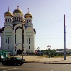
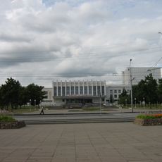
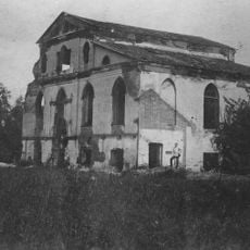
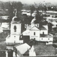
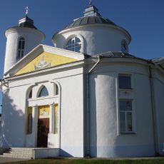
Mogilev Region, Administrative region in eastern Belarus
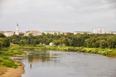
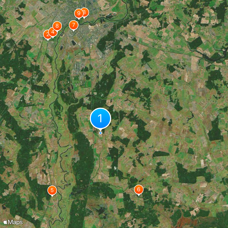
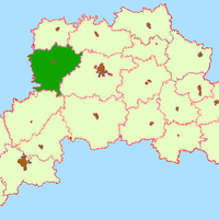
Mogilev Region spreads across eastern Belarus with forests, rivers, and farmland forming its landscape. The territory is divided into 21 administrative districts that together create a significant geographic zone in the country.
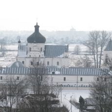
The region formed in 1772 following the first partition of Poland and became part of the Russian Empire as the Mogilev Governorate. This arrangement lasted until 1919, when the region reorganized following the empire's collapse.
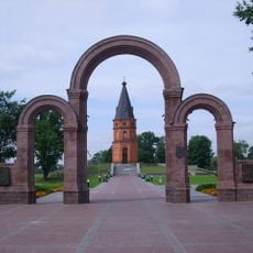
The region holds onto Belarusian traditions while both Belarusian and Russian languages blend into daily life across its 21 districts. You'll notice this duality in local celebrations, street signs, and how people in different communities speak.
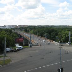
The region sits along major transportation routes, particularly the E95 highway connecting traffic between Ukraine and Russia through Belarus. This central location makes the area straightforward for travelers to reach.
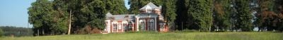
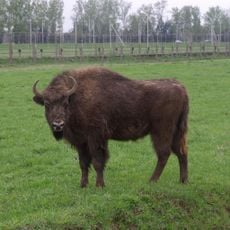
The region holds multiple protected natural areas sheltering rare plants and animals not commonly found elsewhere. These reserves play an important role in preserving the area's natural variety.
The community of curious travelers
AroundUs brings together thousands of curated places, local tips, and hidden gems, enriched daily by 60,000 contributors worldwide.