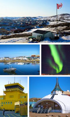
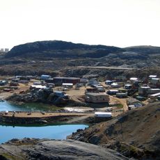
Iqaluit, Territorial capital city in Qikiqtaaluk Region, Canada
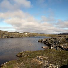
Iqaluit is the capital of Nunavut and sits along the shore of Frobisher Bay in the Qikiqtaaluk region of Canada. The settlement spreads along the waterfront, surrounded by rocky hills and mountain ranges, while the sea remains open or becomes covered with thick ice depending on the season.
The settlement began as a military base built in 1942 to support aircraft movements between North America and Europe during the Second World War. After the war ended, the site evolved into a civilian center and was designated the capital of the newly formed territory of Nunavut in 1999.
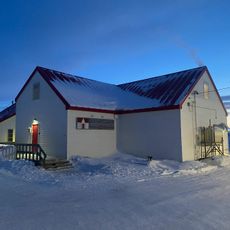
The Nunatta Sunakkutaangit Museum displays artwork and objects that bring the lives of Inuit communities from across Nunavut into focus for any visitor who steps inside. Throughout the week, local craftspeople and artists work on their skills at the cultural center, offering demonstrations that connect traditional techniques to present-day practice.
The Unikkaarvik Visitor Centre offers information on seasonal activities, wildlife viewing, and guided trips across the region. Travelers arriving in winter should prepare for temperatures far below freezing and long hours of darkness, while summer brings mild days and continuous daylight.
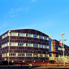
The Legislative Assembly building blends contemporary architecture with traditional Inuit elements and houses a collection of regional artwork open to the public. The territorial coat of arms carries a motto written in Inuktitut, reflecting the connection between indigenous heritage and modern governance.
The community of curious travelers
AroundUs brings together thousands of curated places, local tips, and hidden gems, enriched daily by 60,000 contributors worldwide.