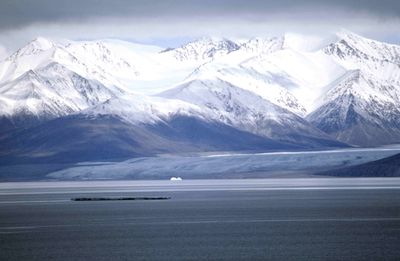
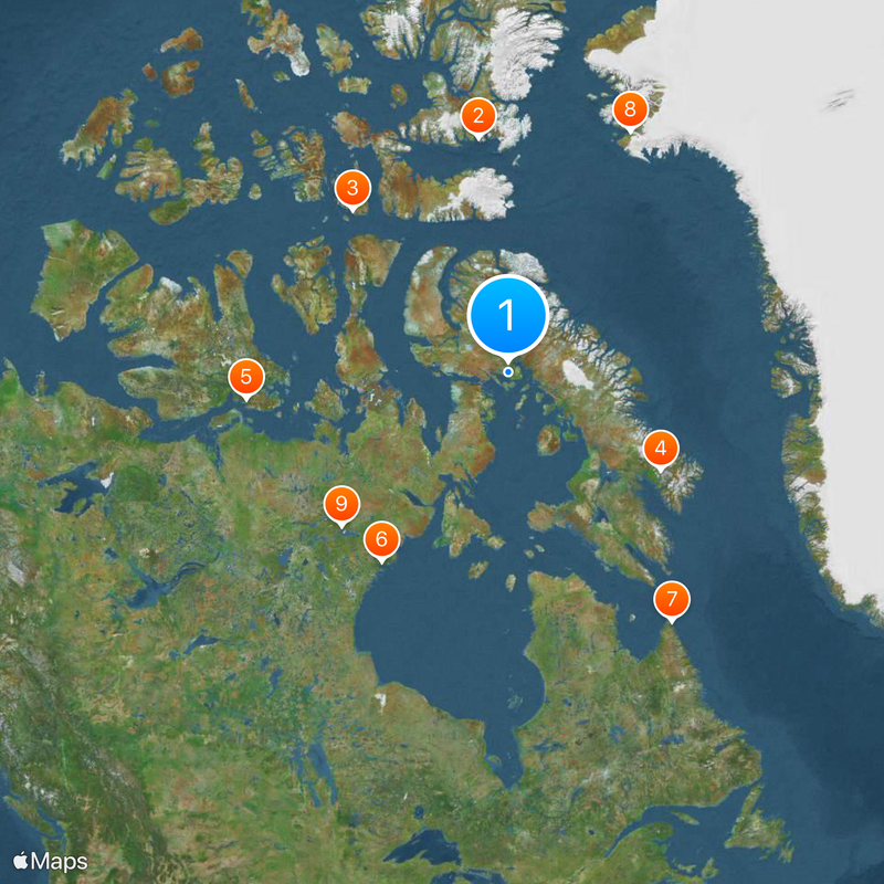
Qikiqtaaluk Region, Administrative region in eastern Nunavut, Canada.
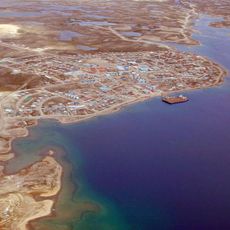
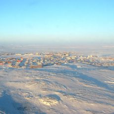
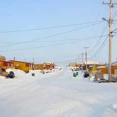
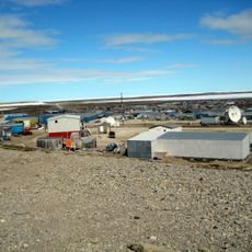
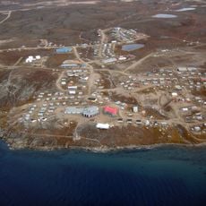
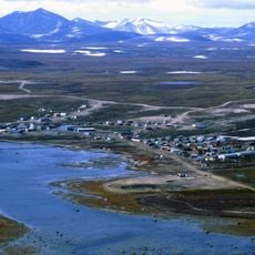
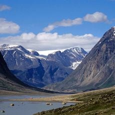
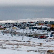
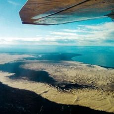
Qikiqtaaluk Region spans across Arctic territory in eastern Nunavut and includes Baffin Island plus numerous smaller islands across the Canadian North. It consists of several communities connected by air services and administered from Iqaluit.
The region was established in 1993 as part of the Nunavut Land Claims Agreement and replaced its former designation as the Baffin Region within the Northwest Territories. This change marked a shift to a new administrative structure in the Canadian North.
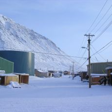
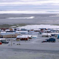
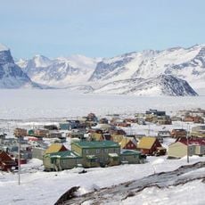
The region is home to Inuit communities whose daily life reflects traditional practices; hunting, fishing, and craftsmanship remain central to how people live and connect with the land.
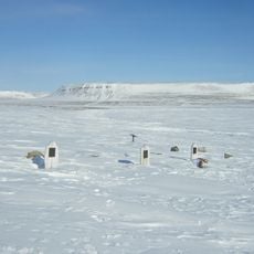
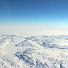
Visitors should prepare for extremely cold climate conditions and pack accordingly with heavy winter clothing and suitable gear. The summer months offer milder weather and better conditions for traveling and exploring the region.
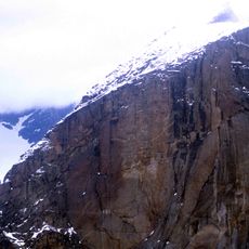
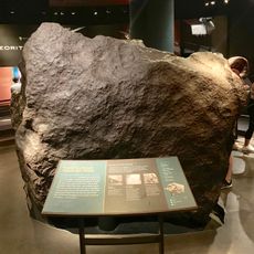
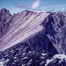
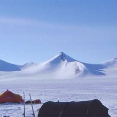
The region is home to Quttinirpaaq National Park, which extends to the northernmost point of Canadian territory and sits exceptionally close to the geographic North Pole. This extreme northern location makes it one of the world's most remote inhabited places.
The community of curious travelers
AroundUs brings together thousands of curated places, local tips, and hidden gems, enriched daily by 60,000 contributors worldwide.