Barbeau Peak, Mountain summit in Quttinirpaaq National Park, Nunavut, Canada
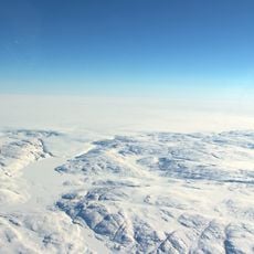
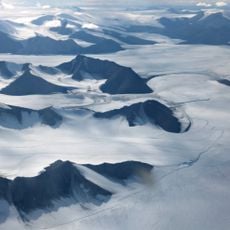
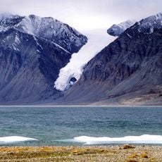
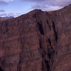
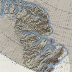
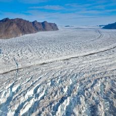
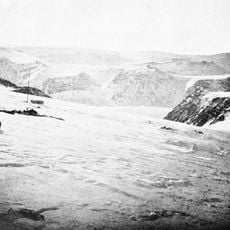
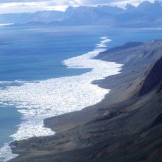
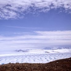
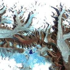
Barbeau Peak is a mountain on Ellesmere Island in Quttinirpaaq National Park, Nunavut, reaching 2,616 meters as the highest point of the British Empire Range and the Arctic Cordillera. Its slopes are cut by long, deep crevasses and razor-thin ridges, and the summit lies about 43 km northwest of Lake Hazen.
Barbeau Peak was first climbed on 7 June 1967 by British geologist and glaciologist Geoffrey Hattersley-Smith, as part of a joint Defence Research Board and Royal Air Force field party. That party both named the peak and determined its height. The second ascent came in June 1982, by an eight-man American team via the north ridge.
The peak was named in 1969 after Marius Barbeau, a Canadian anthropologist acclaimed for his research into First Nations and Inuit cultures. The naming was done by the field party that also determined the mountain's height.
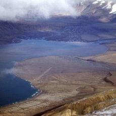
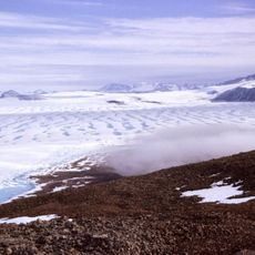
The summit lies about 43 km northwest of Lake Hazen, inside Quttinirpaaq National Park on Ellesmere Island, so access requires a chartered flight and travel over glacier and snow. Crevasses and thin ridges demand rope work and glacier travel skills. Weather shifts quickly, so allow spare days and check conditions with experienced Arctic mountaineers before setting out.
Only seven successful ascents had been recorded as of 2006, making climbs to this remote summit rare events. The extreme isolation and demanding conditions keep visitation exceptionally limited.
The community of curious travelers
AroundUs brings together thousands of curated places, local tips, and hidden gems, enriched daily by 94,427 contributors worldwide.